What is recorded here
Fairy fort / earthen ringfort in Marlinstown is a fairy fort or earthen ringfort in Marlinstown, County Westmeath, Ireland. The 1970 record describes the monument as a broad oval-shaped area measuring 51 meters east to west and 48 meters north to south, enclosed by a steep bank with slight traces of an external fosse. The bank is best preserved from east through south to west to northwest, while the external fosse is visible from southeast through south to west to west-northwest.
Situated on a slight rise, in gently undulating pasture, with good views in all directions. Depicted on the 1837 ed. OS 6-inch map as a circular tree-lined earthwork. Monument described in 1970 as a broad oval-shaped area (dims. 51m E-W; 48m N-S) enclosed by a steep bank with slight traces of an external fosse. The bank is best preserved from E-S-W-NW and is fragmentary from NW-N-E, where it barely rises above the interior. The bank has modern gaps at SSE and NW and a modern ramp has been cut through it at E. An old field bank intersects the scarp at S. The fosse is visible from SE-S-W-WNW and has been recut from S-W. A modern field fence encloses the site from S-W. The interior has a slight NE-facing slope and traces of cultivation ridges in the SE quadrant. Monument is visible today as a tree-lined earthwork on Digital Globe aerial photography.
Compiled by: Alison McQueen, Vera Rahilly and Caimin O’Brien
Date of upload: 05 June 2019
The monument record does not grant public access. Check the route and ask the landowner before entering private land.
- What survives
- Recorded monument
Places near here
 CastleCastle, tower house · 1073 yd
 OutlinedFairy fort / ringfort · 1203 yd
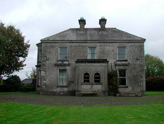 Russellstown Housecountry house · 1250 yd
 Hut site in ArdmoreHut site · 1295 yd
 Boardstown Castle (in Ruins)Castle, tower house · 1.0 mi
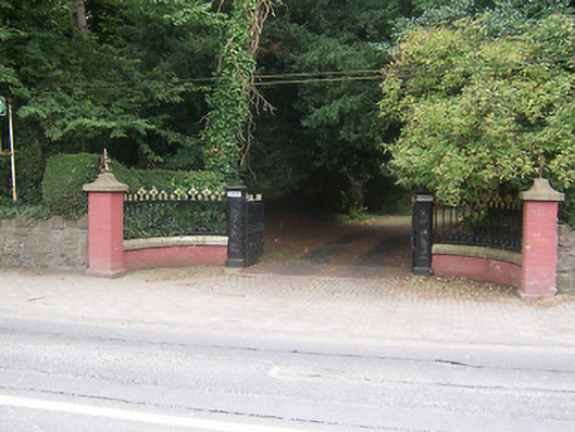 Glenmoredemesne walls/gates/railings · 1.5 mi
 Augustinian Monks Memorial StatueMemorial · 2.0 mi
 The Chimera GalleryGallery · 2.2 mi
 United Nations War MemorialMemorial · 3.0 mi
 Saint Brigid's WellSpring · 3.6 mi
 Long PlantingForest · 4.3 mi
 Lady's IslandWood · 4.7 mi