What is recorded here
Lord Deputy Mountjoy's camp stood on the Ardmartin ridge during the Siege of Kinsale in 1601, commanding views of the town and the main road to Cork. Crown forces perfected the entrenchment on 27 October and strengthened the north defences on 16 November when Gaelic forces approached, possibly creating the first fully enclosed perimeter. Metal detection later recovered lead shot, coins and buttons on the ridge, hinting that soldiers still walked those slopes in memory, their footsteps erased but their shadows preserved in the earth.
Lord Deputy Mountjoy's camp was one of three principal fortified encampments (see CO112-098---- and CO112-102----) occupied by Crown forces during the Siege and Battle of Kinsale in AD 1601 (see Shiels 2004; Morgan 2007). On the 27th of October, Mountjoy 'perfected the entrenchment around the camp' which was 'in a key area with commanding views, especially of the town' (Shiels 2004, 342). This camp is shown on a number of 'contemporary and near-contemporary sketches and paintings, all of which portray it as an impressive structure' (ibid.). Mountjoy strengthened the defences on the north side of the camp on 16 November 'when he was informed of the impending arrival of the Gaelic forces.' This may have been the first time the camp 'actually became fully enclosed on all sides' (ibid.). The exact location of this camp is not clear though its general location is on Ardmartin ridge straddling what was then the main road to Cork (O'Keeffe and Shiels 2008, 11). A licensed metal detection survey (licence no: 07E0732) on part of the ridge, which was carried out in 2007, recovered '21 lead shot, three coins and a number of buttons' (Morgan 2007) indicative that the camp was in this general location. (pers. comm. Paul O'Keeffe)
The above description is derived from 'The Archaeological Inventory of County Cork. Volume 5' (Dublin: Stationery Office, 2009).
Date of upload: 22 December 2009
The monument record does not grant public access. Check the route and ask the landowner before entering private land.
- What survives
- Recorded monument
Places near here
 Browns Mill (Corn)Mill, corn · 523 yd
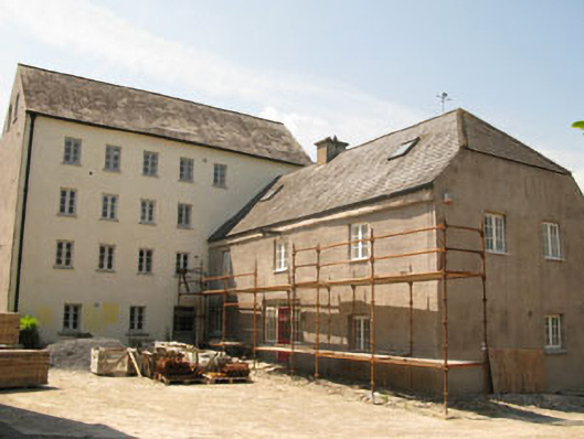 Brown's Millmill (water) · 524 yd
 Burial Gd (Disused)Burial ground · 921 yd
 Enclosure in RathbegEnclosure · 947 yd
 GaolCastle, tower house · 1274 yd
 The Tumble CartHeritage attraction · 1362 yd
 Kinsale Ghost ToursHeritage attraction · 1416 yd
 Graveyard in Abbey-Lands, Part of (kinsale By., Ringcurran Par.)Graveyard · 1439 yd
 Battle of KinsaleMajor battlefield · 1444 yd
 James FortVisitor information · 1470 yd
 Tim & Mortimer McCarthy MemorialMemorial · 1578 yd
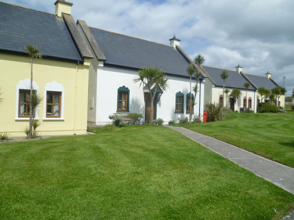 Kinsale Alms HousesVisitor information · 1.0 mi