
What is recorded here
Indicated is a fairy fort in County Mayo, Ireland, where a low circular bank and shallow fosse still mark the edge of human memory. The earth is gravelly, the entrance may face southeast, and hawthorn trees ring the place like a living fence. It is not a grand castle or a forgotten city. It is a small, old boundary where people may have drawn a line between the known world and the uncertain dark.
Located on a low rise in gently undulating improved pasture, with a gradual fall of ground to SW. Overlooked to NE by a ridge.
Slightly raised circular area (33m N-S; 34m E-W) defined by a bank (2.5m at N, 3.6m at WNW; int. H 0.5m; ext. H 0.95m at S, 0.3m at N), outside which it is enclosed at SE−S and SW−NW by fosse (Wth 2m) with external bank (Wth 2m; int. H 0.3m; ext. H 0.3m).
The inner bank is composed of gravelly earth and stones. It is best defined on the W arc; on the E arc it is low and its external slope is partly levelled. The fosse is evident on the SE and W arcs as a very shallow depression and the external bank is reduced to a low, sod-covered rise; they cannot be traced at N−SE.
The interior appears to have been built up at S−SW to create a level interior. The entrance may be at the SE where there is a gap (Wth 2.5m) in the bank with a possible causeway across the fosse.
There is a possible Man-made underground passage (MA081-034002-) in the SW quadrant.
The rath is lightly ringed with hawthorn trees.
Compiled by: Jane O’Shaughnessy
Date of upload: 8 December 2021
The monument record does not grant public access. Check the route and ask the landowner before entering private land.
- What survives
- Recorded monument
Places near here
 Mannin Housefarm house · 752 yd
 Promontory fortPromontory fort, inland · 841 yd
 CastleCastle, unclassified · 864 yd
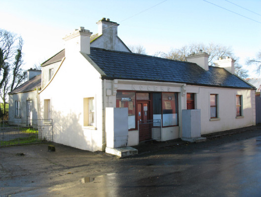 Rogershouse · 1497 yd
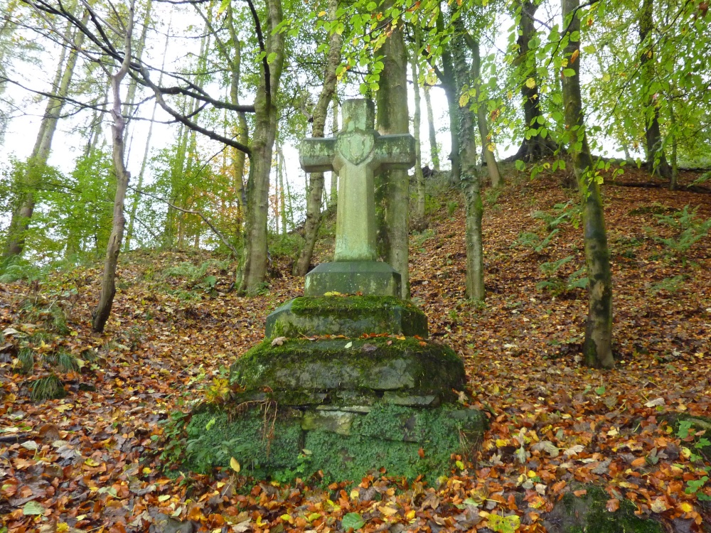 Stone CrossCross · 1.1 mi
 Rath Castle in ruinsCastle, tower house · 1.8 mi
 East Mayo Brigade MonumentMemorial · 3.1 mi
 Knock MuseumMuseum · 3.8 mi
 Knock ShrineHeritage attraction · 3.8 mi
 I'll Send You The FareMemorial · 7.0 mi
 Oak WoodForest · 11 mi
 Geoffrey's WoodForest · 11 mi
Other information
Photo: Credit not shown in the picture search · Rights wording not checked; contact us if this picture should be removed