What is recorded here
The following description is derived from both the published 'Archaeological Inventory of County Louth' (Dublin: Stationery Office, 1986) and the 'Archaeological Survey of County Louth' (Dublin: Stationery Office, 1991). In certain instances the entries have been revised and updated in the light of recent research.
Date of upload/revision: 17 July 2007
Situated to NW of priory (LH008-018001-). Now inaccessible; only blocked entrance visible. (OS Memoranda 6378)
The monument record does not grant public access. Check the route and ask the landowner before entering private land.
- What survives
- Recorded monument
Places near here
 Priory (in Ruins)Religious house, Knights Templars · 34 yd
 Holy well in Liberties OF CarlingfordHoly well · 605 yd
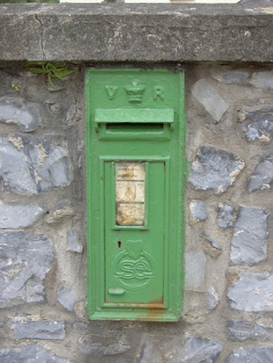 post boxpost box · 655 yd
 Hut site in Commons (carlingford Par.)Hut site · 828 yd
 Carlingford - Loop 1A- Commons LoopWalking route · 961 yd
 Graveyard in Liberties OF CarlingfordGraveyard · 1080 yd
 Carlingford Heritage CentreVisitor information · 1091 yd
 Town GateHeritage attraction · 1147 yd
 Carlingford Ogham StoneMemorial · 1176 yd
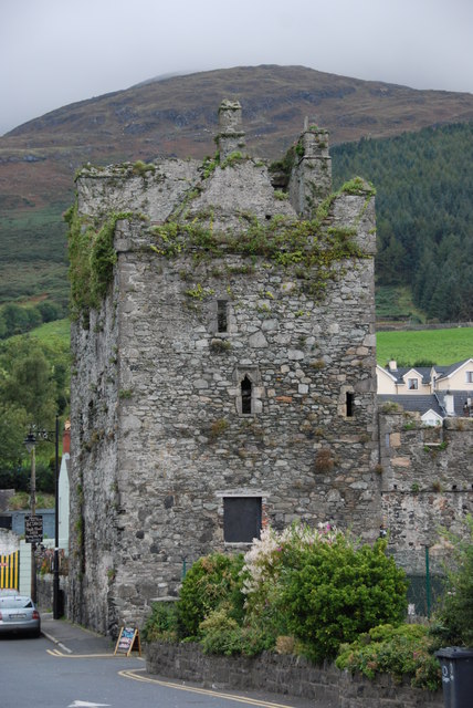 Taaffe's CastleCastle · 1267 yd
 BarnavaveMountain / peak · 1306 yd
 CastleCastle, tower house · 1438 yd