What is recorded here
Two stone chambers and a narrow creepway still hide beneath the Cork ringfort, waiting for someone brave enough to crawl through collapsed dirt. Coleman forced his way through the broken south end in 1947, measuring nine feet of shadow before reaching the second chamber, where an ogham mark still rests on the inner lintel. The passage has no door, no lamp, and no promise of returning unchanged; it only invites curiosity into its dark mouth.
In ringfort (CO050-062001-), just W of centre. Inspected by Hartnett (1939, 195) and Coleman (1947, 70-1). Two rectangular stone-built chambers roofed with lintels and connected by an earth-cut creepway. Chamber 1: (long axis N-S) measures '9ft long, 3ft wide, and 4ft 6in high' (Coleman ibid.); entered by Coleman through collapsed S end. Creepway '4ft long' at N end of W side. Chamber 2: at right angles to chamber 1, much collapsed at W end; ogham inscription (CO050-062003-) found on innermost (W) lintel. Collapsed ground now indicates position of Man-made underground passage.
The above description is derived from the published 'Archaeological Inventory of County Cork. Volume 3: Mid Cork' (Dublin: Stationery Office, 1997). In certain instances the entries have been revised and updated in the light of recent research.
Date of upload/revision: 14 January 2009
The monument record does not grant public access. Check the route and ask the landowner before entering private land.
- What survives
- Recorded monument
Places near here
 BarrowBarrow, ring-barrow · 759 yd
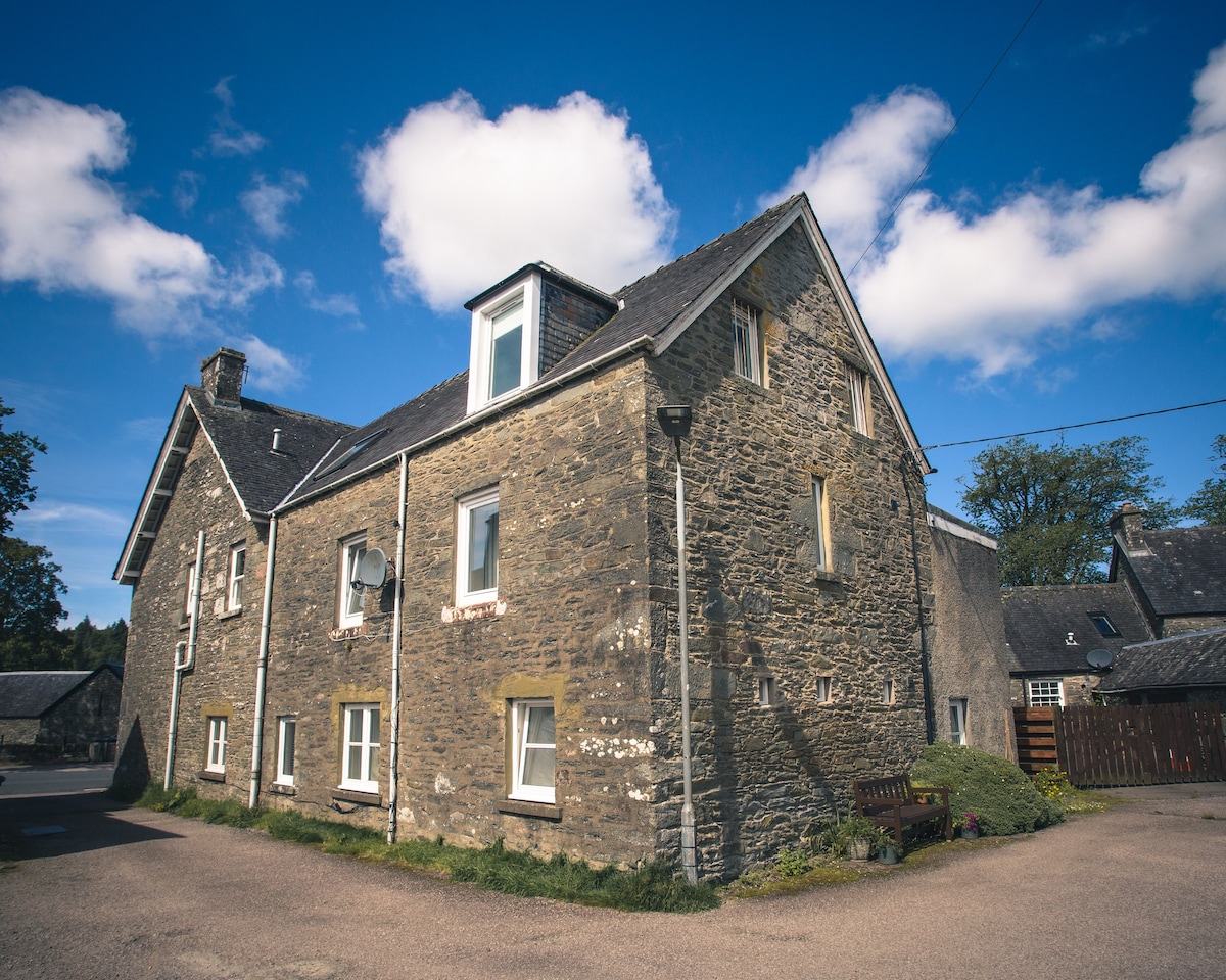 Cist in Kilmartin UpperCist · 999 yd
 Saint Bartholomew's WellSpring · 1.1 mi
 Quarry in BarrahaurinQuarry · 1.3 mi
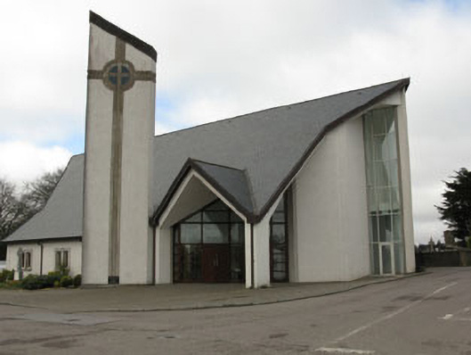 church/chapelchurch/chapel · 1.7 mi
 New TipperaryVisitor information · 2.7 mi
 Knockduff Wind FarmVisitor information · 3.2 mi
 Oldcastle WoodWood · 3.3 mi
 Knockcraugh HillMountain / peak · 3.9 mi
 Mullinhassig WaterfallWaterfall · 4.6 mi
 Mullinhassig WoodWood · 4.7 mi
 Carrignamuck Tower HouseCastle · 4.8 mi