
What is recorded here
Shown on 1842, 1904 and 1939 OS 6-inch maps as hachured circular enclosure (diam. c. 20m), straddling townland boundary between Barrahaurin and Kilmartin Upper. Levelled; no visible surface trace. Hartnett (1939, 197) recorded outer bank (H c. 1m; Wth c. 3m); slight inner fosse; waterlogged interior. Stone row (6503) c. 25m to SW.
The above description is derived from the published 'Archaeological Inventory of County Cork. Volume 3: Mid Cork' (Dublin: Stationery Office, 1997). In certain instances the entries have been revised and updated in the light of recent research.
Date of upload/revision: 14 January 2009
Ring-barrow, likely dating to the Early Christian period (5th–9th centuries AD). These monuments are associated with high-status burials and are significant for understanding early medieval settlement and land use in the Kilmartin Valley.
The monument record does not grant public access. Check the route and ask the landowner before entering private land.
- What survives
- Recorded monument
Places near here
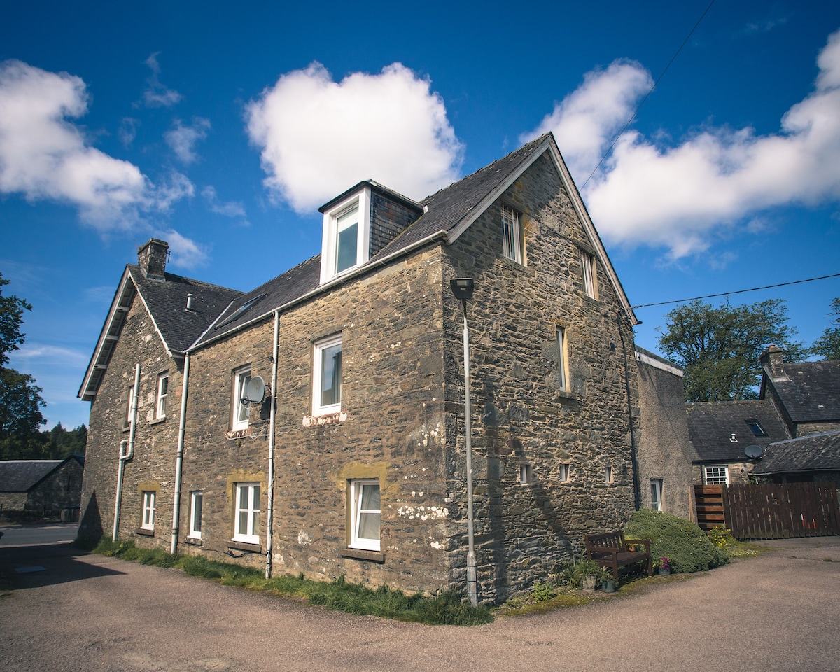 Cist in Kilmartin UpperCist · 262 yd
 Fulacht fia in Kilmartin UpperFulacht fia · 1317 yd
 Quarry in BarrahaurinQuarry · 1.1 mi
 Saint Bartholomew's WellSpring · 1.3 mi
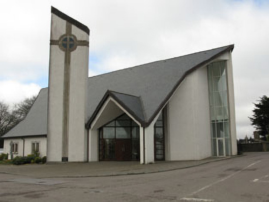 church/chapelchurch/chapel · 1.6 mi
 Knockduff Wind FarmVisitor information · 2.0 mi
 New TipperaryVisitor information · 2.5 mi
 Oldcastle WoodWood · 3.6 mi
 Knockcraugh HillMountain / peak · 3.9 mi
 Eagle's NestMountain / peak · 4.7 mi
 Ballyvodane Castle (in Ruins)Castle, unclassified · 5.0 mi
 Mullinhassig WaterfallWaterfall · 5.1 mi
Other information
Photo: Credit not shown in the picture search · Rights wording not checked; contact us if this picture should be removed