What is recorded here
Situated on a slight E-facing slope. A plough removed the capstone of a beehive chamber (diam. 2.66m E-W; 2.64m N-S; max. H 1.8m) in April 1986. A passage (Wth 0.76m) leads off to the WNW but is blocked within 1m. There is no evidence of an associated enclosure. (Eogan 1985)
The above description is derived from the published 'Archaeological Inventory of County Meath' (Dublin: Stationery Office, 1987). In certain instances the entries have been revised and updated in the light of recent research.
Compiled by: Michael Moore
Date of revision: 10 April 2019
The monument record does not grant public access. Check the route and ask the landowner before entering private land.
- What survives
- Recorded monument
Places near here
 Raffin FortArchaeological place · 1555 yd
 HeadstownMountain / peak · 1620 yd
 Headstown ForestForest · 1631 yd
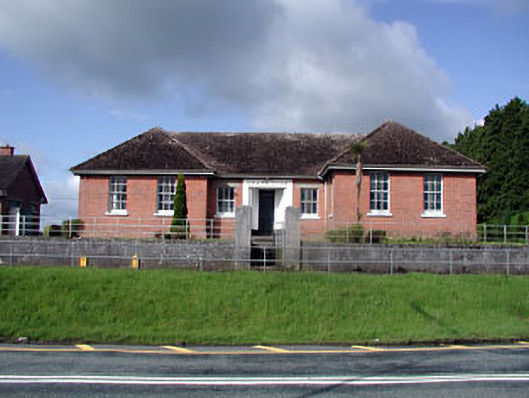 Nobber Technical Schoolschool · 1.3 mi
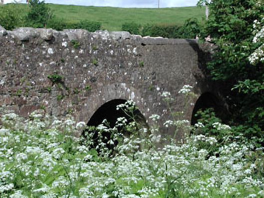 Lady Bridgebridge · 1.3 mi
 Common LimeCommon Lime · 1.3 mi
 Nobber GreenwayMemorial · 1.4 mi
 MoatCastle, motte and bailey · 1.5 mi
 Ugly HillMountain / peak · 1.6 mi
 Castletown FortCastle, motte and bailey · 1.6 mi
 Owenroe and Moynalty DrainageMemorial · 2.6 mi