What is recorded here
Man-made underground passage uncovered in 2004 by Mary Henry when carrying out archaeological investigations under licence No. 04E0836. The results of hier excavation were summarised as following; 'During a housing development at Petitswood, Mullingar, in 2000, a Man-made underground passage was discovered. A survey undertaken by CRDS Ltd confirmed the presence of a two-chambered Man-made underground passage with connecting passage measuring c. 13.5m by 3.3m. Unfortunately, the monument was damaged during initial discovery.
Excavation of the monument took place in July 2004. Comprising two chambers, the eastern chamber was roughly circular and measured 2.5m in diameter by 2.5m high inside. To the east, the chamber had previously been damaged by machine on its western face and measured 2.1m east-west by 1.3m by 1.72m high. Connecting the two chambers was an east-west aligned passageway measuring 10.5m by 0.9m high, which extended under the eastern chamber.
Both chambers were constructed with rough coursed limestone and coated with two distinct redeposited clays applied in a spiral pattern. Whereas the eastern chamber comprised a flat top built around a keystone, the western chamber was of beehive construction. The passageway consisted of rough coursed limestone with capping stones along its length and an entrance at a midway point along its northern side. An elevated trapdoor discovered situated in the western chamber was probably evidence of a distinct floor above the passageway. Unfortunately the previous machine damage had destroyed most of this area. No artefacts were discovered, apart from a few animal bones' (www.excavations.ie 2004:1765)
Compiled by: Alison McQueen, Vera Rahilly and Caimin O’Brien
Date of upload: 05 June 2019
The monument record does not grant public access. Check the route and ask the landowner before entering private land.
- What survives
- Recorded monument
Places near here
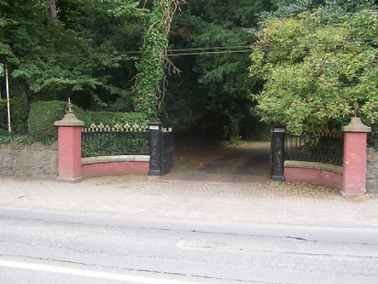 Glenmoredemesne walls/gates/railings · 270 yd
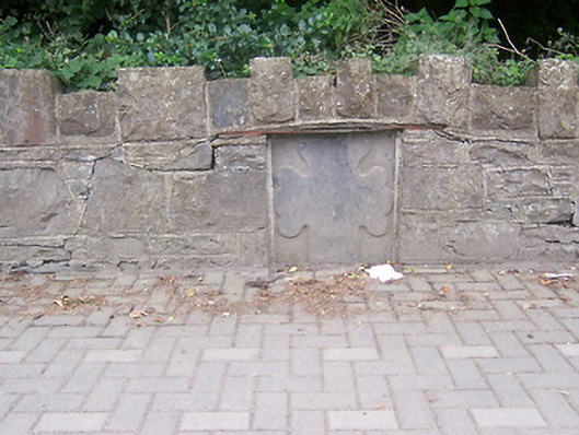 monumentmonument · 272 yd
 OutlinedFairy fort / ringfort · 832 yd
 IndicatedEcclesiastical enclosure · 958 yd
 Augustinian Monks Memorial StatueMemorial · 1123 yd
 Petits Castle Mote & Mill (Site of)Castle, unclassified · 1310 yd
 Boardstown Castle (in Ruins)Castle, tower house · 1433 yd
 The Chimera GalleryGallery · 1544 yd
 Famine MemorialMemorial · 1585 yd
 Mullingar Cathedral MuseumMuseum · 1739 yd
 Saint Brigid's WellSpring · 2.2 mi
 Long PlantingForest · 3.1 mi