What is recorded here
Situated beneath a cottage E of the gateway to Monasterboice graveyard, and within the monastic enclosure (LH021-062001-). It is described by Keenan (1945, 52) as being '4 or 5 ft deep' (c. 1.2 - 1.5m). It is now inaccessible. (Roe 1981, 76-8)
The above description is derived from both the published 'Archaeological Inventory of County Louth' (Dublin: Stationery Office, 1986) and the 'Archaeological Survey of County Louth' (Dublin: Stationery Office, 1991). In certain instances the entries have been revised and updated in the light of recent research.
Date of upload: 17 July 2007
The monument record does not grant public access. Check the route and ask the landowner before entering private land.
- What survives
- Recorded monument
Places near here
 MonasterboiceEarly monastic site · 39 yd
 CrossCross, High cross · 58 yd
 Stone CrossesCross, High cross · 65 yd
 Monasterboice AbbeyRuins · 79 yd
 Muiredach's High CrossHeritage attraction · 89 yd
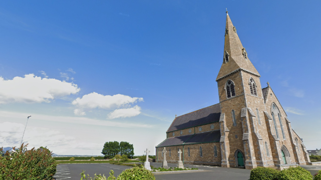 Church (in Ruins)Church · 1204 yd
 BarabonaMountain / peak · 1569 yd
 Drummond TowerCastle · 1.6 mi
 CastleCastle, unclassified · 1.7 mi
 Black HillMountain / peak · 2.2 mi
 Pedunculate OakPedunculate Oak · 2.6 mi
 European ashEuropean ash · 3.1 mi