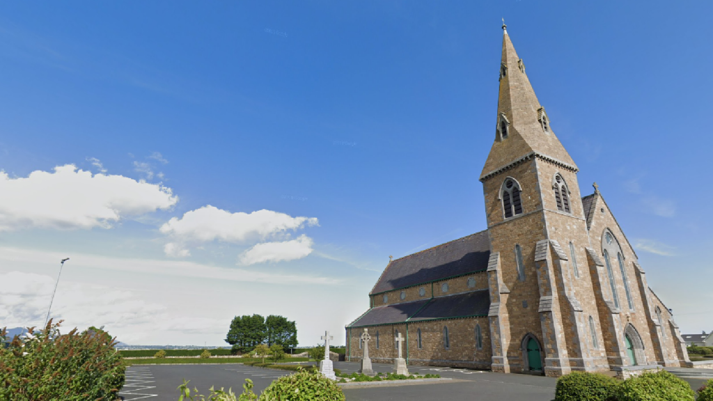
What is recorded here
The following description is derived from both the published 'Archaeological Inventory of County Louth' (Dublin: Stationery Office, 1986) and the 'Archaeological Survey of County Louth' (Dublin: Stationery Office, 1991). In certain instances the entries have been revised and updated in the light of recent research.
Date of upload/revision: 17 July 2007
Built with rubble greywacke and apparently without mortar, rectangular in plan (max. dims. 6.4m by 3.5m) and aligned SE-NW. It now stands only to a height of c. 0.7m and is grass-covered. There appears to have been a doorway in the SW. Situated on the slope of a ridge and surrounded by a low, wide, grass-covered bank or wall enclosing an area c. 21.5m by 28.3m. Two Man-made underground passages (LH021-030---- and LH021-053----) located c. 50m from the enclosure. (CLAJ 1944, 289)
A local church or high cross; wider significance not recorded.
The monument record does not grant public access. Check the route and ask the landowner before entering private land.
- What survives
- Recorded monument
Places near here
 Man-made underground passage in BawntaaffeMan-made underground passage · 124 yd
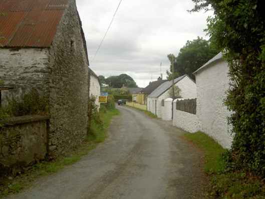 outbuildingoutbuilding · 365 yd
 MonasterboiceEarly monastic site · 1235 yd
 Stone CrossesCross, High cross · 1255 yd
 Monasterboice AbbeyRuins · 1280 yd
 Muiredach's High CrossHeritage attraction · 1287 yd
 BarabonaMountain / peak · 1.5 mi
 Drummond TowerCastle · 1.9 mi
 CastleCastle, unclassified · 2.2 mi
 Black HillMountain / peak · 2.9 mi
 Pedunculate OakPedunculate Oak · 3.1 mi
 Quarry Garden WoodForest · 3.2 mi
Other information
Photo: Credit not shown in the picture search · Rights wording not checked; contact us if this picture should be removed