What is recorded here
Under the low, square mound at Lisduff, local tradition claims a hidden passage waits beneath the brambles and clearance stones. The upright slab protruding from the south edge may mark an entrance now choked by earth and root, while a similar passage lies a short distance away in a nearby rath. Together they suggest a forgotten underground road, perhaps used for shelter, ritual or quiet travel across the ridge.
In pasture, located on top of a ridge with a gentle fall of ground to NNE towards an area of rough, wet pasture.
A low rise (c. 12m NW–SE; c. 12m NE–SW; H 0.4m), roughly square or sub-circular in plan, which incorporates some stone, including an upright slab (L 0.54m; T 0.13m; H 0.34m) protruding from the S edge. The NE side merges with a slight linear scarp, probably a levelled NE–SW field fence. It is partly obscured by dense brambles, and by a heap of field clearance debris. According to local tradition, the mound marks the location of a ‘cave’ or Man-made underground passage. There is a rath (MA080-018----) with a Man-made underground passage (MA080-018001-) c. 150m to SW.
Compiled by: Jane O’Shaughnessy
Date of upload: 6 December 2021
The monument record does not grant public access. Check the route and ask the landowner before entering private land.
- What survives
- Recorded monument
Places near here
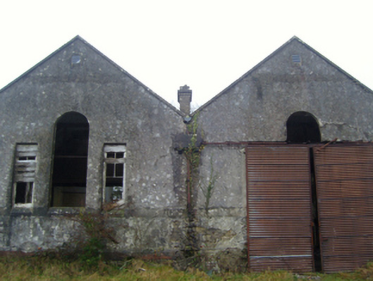 Lisduff National Schoolschool · 308 yd
 IndicatedFairy fort / earthen ringfort · 338 yd
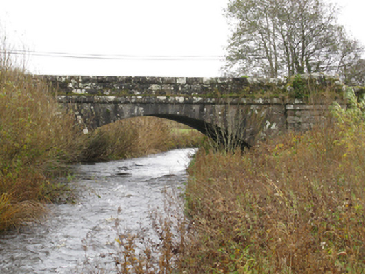 bridgebridge · 450 yd
 CrossCross · 1725 yd
 I'll Send You The FareMemorial · 1.7 mi
 Kiltimagh MuseumMuseum · 1.7 mi
 Thorn CaveCave · 1.8 mi
 Carrowbeg WoodWood · 3.7 mi
 CashlankeeghCastle, unclassified · 3.8 mi
 Castle in ruinsCastle, tower house · 4.9 mi
 Brabazon WoodsForest · 5.0 mi
 East Mayo Brigade MonumentMemorial · 5.1 mi