What is recorded here
Located on top of a low hill, possibly within a rath (SL016-0680001-). An area of collapse allows visual access to a drystone passage (Wth 0.7m) which inclines downwards in a NE direction and also extends to SW. At least one 'in situ' stone lintel is visible. Twelve metres SW is a low circular mound of stones (diam. 3m; H 0.5m) enclosing a central area of collapse in which a large stone lintel is visible.
Compiled by: Patrick F. O'Donovan
Date of upload: 19 January 2011
The monument record does not grant public access. Check the route and ask the landowner before entering private land.
- What survives
- Recorded monument
Places near here
 Enclosure in LackanEnclosure · 579 yd
 Castle FirbisCastle, tower house · 639 yd
 Patricks WellHoly well · 806 yd
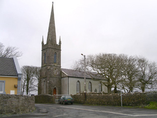 Kilglass Churchchurch/chapel · 1535 yd
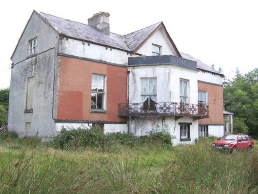 Kilglass Househouse · 1668 yd
 Wild Atlantic Way: Inishcrone PierVisitor information · 1.4 mi
 Enniscrone BeachBeach / strand · 2.5 mi
 The Black PigMemorial · 2.6 mi
 Grave of the Black PigArchaeological place · 2.7 mi
 Rathlee HeadHeadland · 3.0 mi
 Horse IslandIslet · 3.8 mi
 Bartragh IslandIsland · 4.0 mi