What is recorded here
Doon rath in County Cavan still holds a shallow rectangular depression at its northern foot, measuring about six metres long and four metres wide. People may have cut that space as an underground passage, yet no entrance or chamber remains visible today. The earth has swallowed the work, leaving only a faint shadow in the grass where human hands once shaped the dark.
Situated within Doon rath (CV039-041001-), at the internal foot of bank at N. An earlier report (OPW 1969) recorded a shallow, subrectangular depression aligned WNW-ESE (L c. 6m; Wth c. 4m; D 0.7m) possibly marking the site of a Man-made underground passage.
The above description is derived from the published 'Archaeological Inventory of County Cavan' (Dublin: Stationery Office, 1995). In certain instances the entries have been revised and updated in the light of recent research.
Date of upload/revision: 22 December 2008
The monument record does not grant public access. Check the route and ask the landowner before entering private land.
- What survives
- Recorded monument
Places near here
 Carraig-na-SasanacNamed rock · 1067 yd
 The Big Man's GraveArchaeological place · 1169 yd
 Doon Wet WoodlandWood · 1183 yd
 Ardlow National Schoolschool · 1271 yd
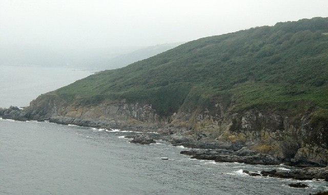 Black RockMountain / peak · 1309 yd
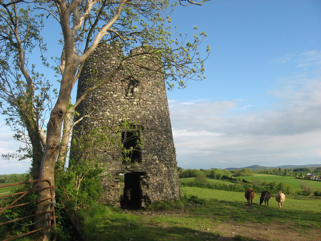 Windmill in Enagh (crossbane Ed)Windmill · 1520 yd
 EnaghMountain / peak · 1523 yd
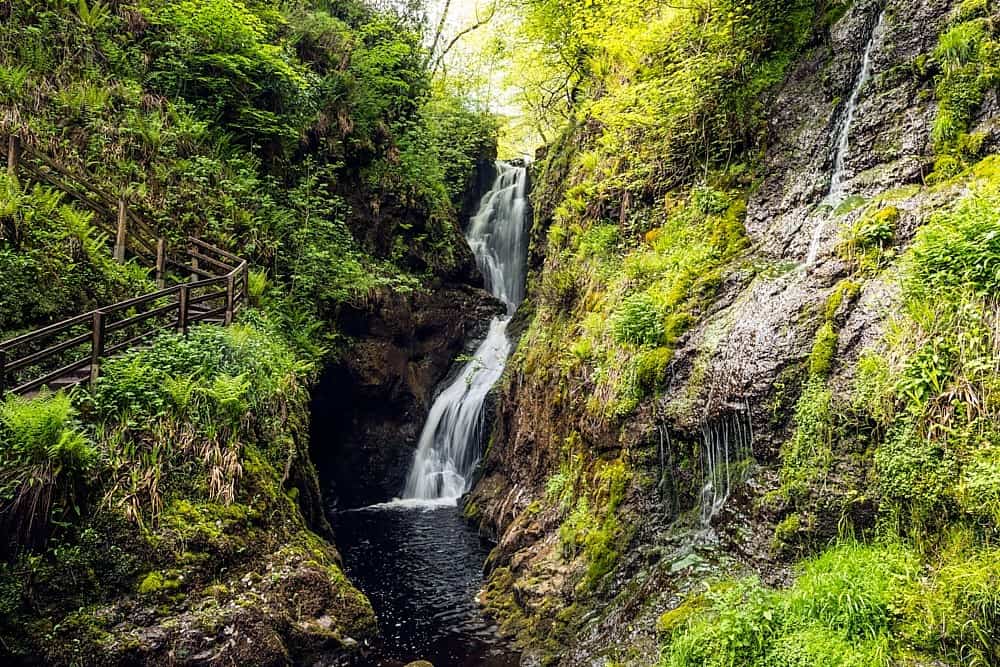 Annagharnet North ForestForest · 1.0 mi
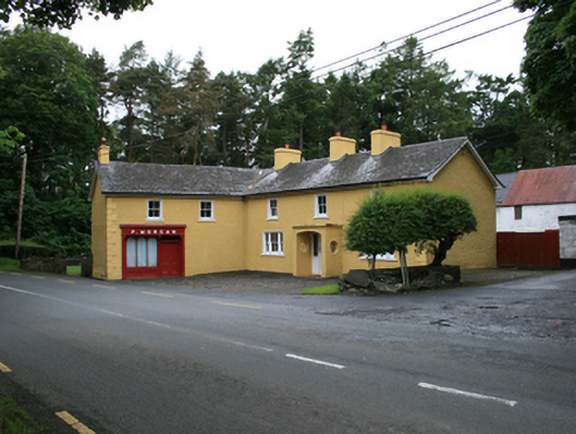 P. Morganfarm house · 1.1 mi
 Tober UltanHoly well · 1.2 mi
 Birthplace of General Philip SheridanMemorial · 1.2 mi
 Welcome to VirginiaVisitor information · 2.5 mi