
What is recorded here
In a wooded area, on Grinneen Island near the SE shore of Kilmakilloge Harbour. A partly blocked entrance (L 0.6m; H 0.2m) is situated 0.9m below ground level on the W side of a path leading to the seashore. A local person pointed out the location of a second entrance beside a tree, 9m to the NW. The latter entrance is now blocked with debris. The underground passage between the entrances is earth-cut with a curving roof and was, according to local information, used in the past by smugglers. According to the Marquis of Lansdowne, it was possible to 'sit up' in the passage (Lansdowne 1937, 161).
The above description is derived from the published 'Archaeological Inventory of County Kerry. Volume I: South-West Kerry' (Dublin: Stationery Office, 2009). In certain instances the entries have been revised and updated in the light of recent research.
Date of upload: 30 May 2011
The monument record does not grant public access. Check the route and ask the landowner before entering private land.
- What survives
- Recorded monument
Places near here
 Habitat of DerreeniesNature reserve · 394 yd
 Japanese cedarJapanese cedar · 430 yd
 Derreen Househouse · 508 yd
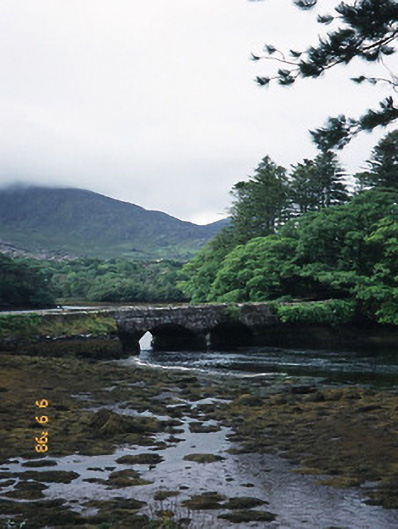 Cappul Bridgebridge · 926 yd
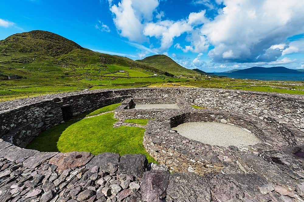 Fairy fort / earthen ringfort in Lauragh LowerFairy fort / earthen ringfort · 1194 yd
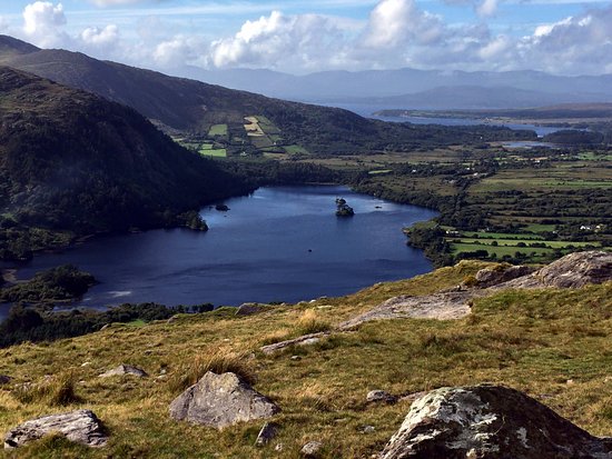 Man-made underground passage in Lauragh LowerMan-made underground passage · 1415 yd
 KnockateeMountain / peak · 1.1 mi
 DrombohillyMountain / peak · 1.8 mi
 Crane IslandIslet · 2.2 mi
 Duck RockIslet · 2.2 mi
 DroppaCliff · 4.0 mi
 Ardgroom Pulleen LoopWalking route · 4.7 mi
Other information
Photo: Credit not shown in the picture search · Rights wording not checked; contact us if this picture should be removed