What is recorded here
Situated on NE side of a ridge, in pasture, with extensive views to SE. A pond lies c. 80m to S. Described in 1971 as within NW quadrant of ringfort (WM025-007----) there is as a small portion of a lintel which is visible through a small hole in the ground surface. According to local information, this is part of a ‘cave’ which had been closed up in relatively recent times. Monument described in 1977 as a depression with a lintel lying in it and a narrow entrance into a Man-made underground passage. It is not possible to gain entry into it. Monument described in 1979 as a Man-made underground passage passage which extends (L 4.3m; Wth 1.6m; H 0.4-0.6m) in a SW direction. The passage is defined by poorly constructed drystone walling. There is a small opening at the SW end of the NW wall, which presumably leads into another passage or chamber. The area beyond this opening is in accessible and appears to have been disturbed by badgers.
Compiled by Alison McQueen, Vera Rahilly and Caimin O’Brien.
Date of upload: 03 September 2019
The monument record does not grant public access. Check the route and ask the landowner before entering private land.
- What survives
- Recorded monument
Places near here
 Site of CastleCastle, unclassified · 676 yd
 IndicatedFairy fort / earthen ringfort · 738 yd
 Balrath Lodgehouse · 1036 yd
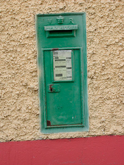 post boxpost box · 1274 yd
 Partially indicatedEcclesiastical enclosure · 1346 yd
 CastleCastle, unclassified · 1.1 mi
 Ancient Ring FortWood · 1.2 mi
 Hill of UisneachMountain / peak · 1.9 mi
 European ashEuropean ash · 2.8 mi
 KnockastiaMountain / peak · 6.1 mi
 Carrickphilbin IslandIslet · 6.7 mi
 Abbeyshrule AbbeyRuins · 8.2 mi