What is recorded here
Corravahan rath in County Cavan, Ireland, holds a shallow curving depression two metres from its centre, likely the collapsed remains of a man-made underground passage. That is all the facts provide, but the shape suggests a deliberate cut through living soil rather than a random sinkhole. A person may have dug it to hide tools, water or memory from the open sky. The rath still stands above that forgotten depth, waiting for someone to imagine what disappeared below.
At Corravahan rath (CV021-019001-). An earlier report (OPW 1970) recorded a long, shallow, slightly curving depression, orientated NE-SW, 2m NNE of the centre of the rath's interior. This may represent the remains of a Man-made underground passage.
The above description is derived from the published 'Archaeological Inventory of County Cavan' (Dublin: Stationery Office, 1995). In certain instances the entries have been revised and updated in the light of recent research.
Date of upload/revision: 22 December 2008
The monument record does not grant public access. Check the route and ask the landowner before entering private land.
- What survives
- Recorded monument
Places near here
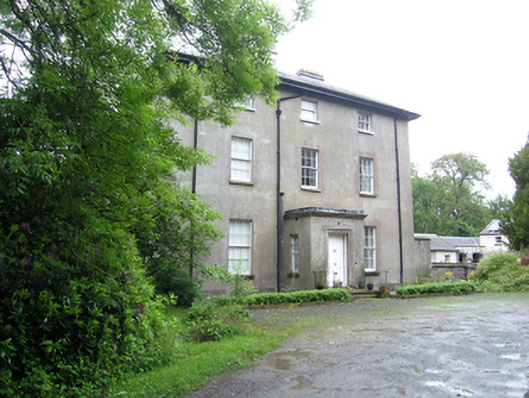 Corravahan Houserectory/glebe/vicarage/curate's house · 410 yd
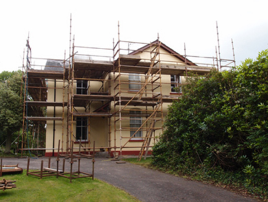 Drung Rectoryrectory/glebe/vicarage/curate's house · 474 yd
 IndicatedFairy fort / earthen ringfort · 1609 yd
 Font in Lislea (drung Ed)Font · 1.2 mi
 Castleterra ForestForest · 1.5 mi
 CastleCastle, unclassified · 1.5 mi
 CorgarveMountain / peak · 1.6 mi
 Shantemon ForestForest · 1.6 mi
 Garden IsleIslet · 2.4 mi
 ArdamaghMountain / peak · 2.5 mi
 Ballyhaise Ho.Castle, unclassified · 2.5 mi
 Giant's GraveArchaeological place · 2.7 mi