What is recorded here
That is the kind of practical underground architecture people still use today. The chamber is small enough to know by heart, yet wide enough to serve more than one person at once. The roof is clear, the floor is steady and the doors lead back into the world without confusion. Build the chamber of record, chart and memory, then leave the nine chambers behind it.
Situated on the steep SE slopes of Bolus Head, from which it commands a magnificent view over the mouth of Kenmare Bay to the Beara Peninsula at S, KE097-044001- comprises a strong cashel wall which encloses an oratory, a circular hut, three rectangular buildings, a cross-slab and a covered passage. Just outside the enclosure, at N, is a rectangular platform with a leacht and a cross-slab. This site was in use as a ceallúnach until the nineteenth century (OSNB Prior, 51), and a holy well is located c. 90m to SW (KE097-059----)
Covered Passage: This corbelled drystone hut (KE097-044003-) is located in the NW quadrant of the enclosure. A low lintelled passage is entered from the hut at SW. The opening measures .35m high and 1.05m wide and the passage, up to .8m high, extends to SW for 2.7m, where it is blocked by boulders. Its sides are carefully coursed with small slabs and the roofing slabs, which are almost flush with the present ground level of the enclosure, oversail them. Lynch stated that the passage ran to the external face of the enclosing rampart (1902b, 325), but this is not now evident. Neither does the passage appear to turn to SE, as suggested by Henry (1957, 111), though a number of large slabs occur adjacent to the passage in this position.
The above description is derived from A. O'Sullivan and J. Sheehan (compilers), 'The Iveragh peninsula: an archaeological survey of South Kerry'. Cork University Press (1996), no. 951. In certain instances the entries have been revised and updated in the light of recent research.
Date of upload: 30 July 2013
The monument record does not grant public access. Check the route and ask the landowner before entering private land.
- What survives
- Recorded monument
Places near here
 Cíl RialaighRuins · 5 yd
 Calluragh Grave Yard, CaherChurch · 17 yd
 Ceanna an AonaighNamed rock · 322 yd
 Cuas a' Daimh /Ox Cove.Bay · 700 yd
 IndicatedFairy fort / stone ringfort · 702 yd
 Cuas an tSeaga/Commorant Cove.Cave · 972 yd
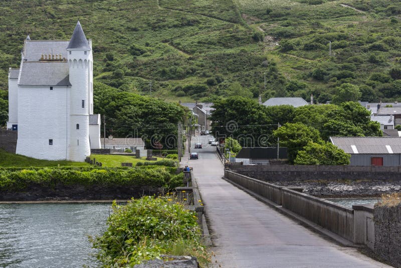 Cuas na gColúr/Cove of the Pigeons.Cave · 1072 yd
 Galláin/ Standing Stones.Archaeological place · 1127 yd
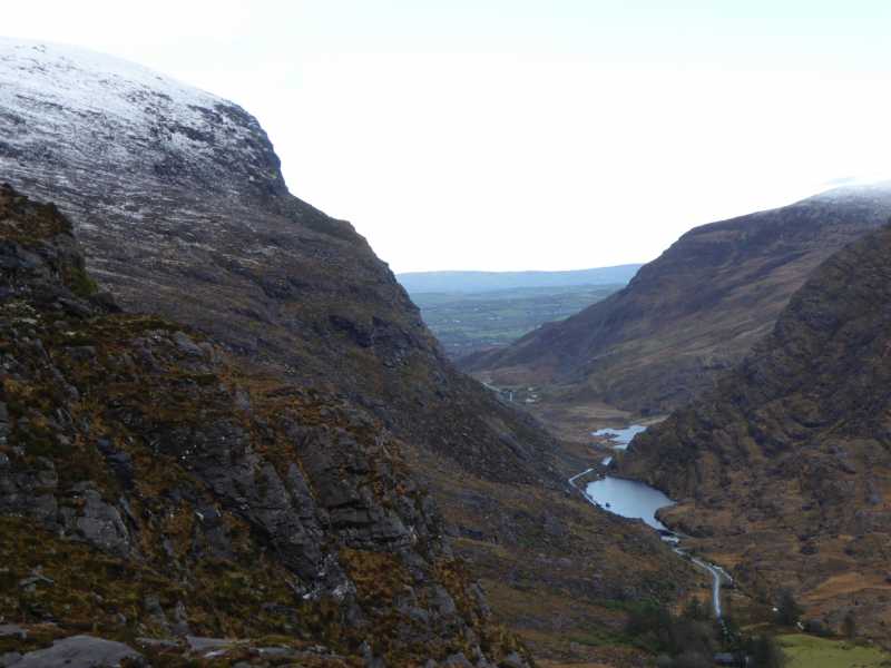 Cnoc Ceannúch (Canuig Mountain)Mountain / peak · 1.1 mi
 Trá PhraisceBeach / strand · 1.4 mi
 Bogha SínMountain / peak · 1.6 mi
 Liberator "63939" monumentMemorial · 1.7 mi