
What is recorded here
A collapsed Man-made underground passage was recorded in 1984 c. 15m S of the rath (RO035-026001-) under a field bank (SMR file), but it is no longer evident.
Compiled by: Michael Moore
Date of upload: 24 August 2010
The monument record does not grant public access. Check the route and ask the landowner before entering private land.
- What survives
- Recorded monument
Places near here
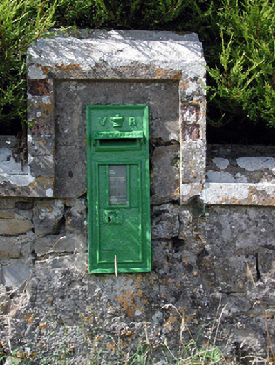 post boxpost box · 925 yd
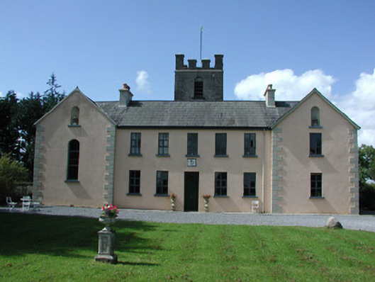 Highlake Housemonastery · 954 yd
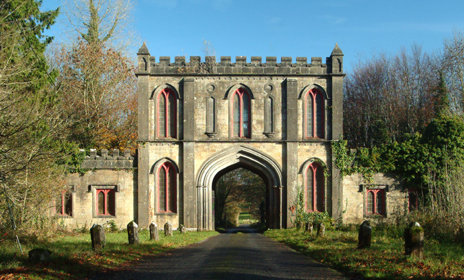 Enclosure in Ardlagheen BegEnclosure · 1613 yd
 IndicatedFairy fort / earthen ringfort · 1743 yd
 HawthornHawthorn · 2.9 mi
 Leitrim CastleCastle, unclassified · 5.0 mi
 CastlerubyCastle, unclassified · 5.1 mi
 European ashEuropean ash · 5.9 mi
 Roscommon CastleCastle · 6.0 mi
 Site of Killomaine Grave YardArchaeological place · 7.3 mi
 Sally IslandIslet · 9.1 mi
 Mount MaryMountain / peak · 10 mi
Other information
Photo: Credit not shown in the picture search · Rights wording not checked; contact us if this picture should be removed