What is recorded here
Geophysical survey (Licence no. 13R083) was undertaken at the site by the Discovery Programme as part of the ‘Late Iron Age and “Roman” Ireland’ project. Located southeast of ring ditch (DU004-071002-) this site is defined by a pennanular ring (c.8m diam.) with a single pit-type response internally (Dowling 2015, 7).
Compiled by: Christine Baker
Date of upload: 6 February 2015
The monument record does not grant public access. Check the route and ask the landowner before entering private land.
- What survives
- Recorded monument
Places near here
 Ring-ditch in MallahowRing-ditch · 219 yd
 QuarryQuarry · 433 yd
 MoatCastle, motte · 553 yd
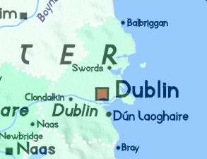 Field system in GrallaghField system · 828 yd
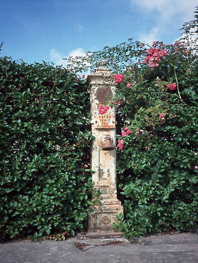 water pumpwater pump · 1529 yd
 Naul HillMountain / peak · 1.2 mi
 Westown HouseCastle, tower house · 1.4 mi
 St Kenny's WellSpring · 1.5 mi
 St. John's WellSpring · 1.5 mi
 Bun-na-CnoicMemorial · 1.7 mi
 Seamus Ennis Cultural CentreMemorial · 1.9 mi
 Hollywood GreatMountain / peak · 1.9 mi