
What is recorded here
Historic quarry located 130m ESE of Mallahow House. Roughly semi-circular-shaped quarry (approx. dims. 80m N-S x 60m E-W) second quarry (DU004-109----) 215m to the NW depicted on the 1837 ed. OSi six-inch map. On the 1837 ed OSi six-inch map the crescent shaped quarry is accessed from a roadway on the S leading off the public road 45m to the S. Annotated ‘Quarry (Disused)’ on the OSi 25-inch map. Depicted as a hachured area on the last edition of the OSi six-inch map. Visible as a grove of trees on the 2013-18 MapGenie orthoimage. Annotated ‘quarry’ on Rocque's 1760 map of County Dublin. Both quarries in the townland of Mallahow are depicted at these locations on Rocque's 1760 Map of County Dublin.
Compiled by: Caimin O'Brien
The monument record does not grant public access. Check the route and ask the landowner before entering private land.
- What survives
- Recorded monument
Places near here
 MoatCastle, motte · 166 yd
 Ring-ditch in MallahowRing-ditch · 594 yd
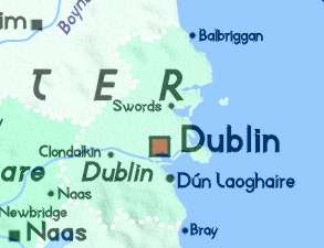 Field system in GrallaghField system · 988 yd
 NaptownHouse, 16th/17th century · 1256 yd
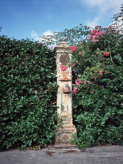 water pumpwater pump · 1380 yd
 St. John's WellSpring · 1.4 mi
 St Kenny's WellSpring · 1.4 mi
 Naul HillMountain / peak · 1.4 mi
 Westown HouseCastle, tower house · 1.6 mi
 Hollywood GreatMountain / peak · 1.9 mi
 Bun-na-CnoicMemorial · 1.9 mi
 Cornstown HouseHeritage attraction · 3.7 mi
Other information
Photo: Credit not shown in the picture search · Rights wording not checked; contact us if this picture should be removed