What is recorded here
Málainn Bhig holds a semi-circle of low stones beside four hut sites on Leahan Mountain, facing the sea and Slieve League. The rushy pasture and heather hide whether the stones marked a well, a kiln, or a gathering place for the cluster. Whoever built there chose a damp valley where water, heat, and life could still move together.
In poorly drained rushy covered mountain pasture, in small river valley, on the SE facing slope of Leahan Mountain with views of the sea to the S and Slieve League to the W. This is a stone structure located in the centre of a clustered settlement of four hut sites (DG089-026004/008-). A cluster of 3 hut sites (DG089-026001/003-) are located 100m to the W. The remains of a stone structure defined by a row of low orthostats defining a semi-circular shaped area which appears to be associated with the clustered settlement. The heather covered remains are difficult to interpret and may be the remains of a well or kiln belonging to the settlement. Located in an area of a dense concentration of hut sites which appear to make up a clustered settlement (DG089-026001/021).
The monument record does not grant public access. Check the route and ask the landowner before entering private land.
- What survives
- Recorded monument
Places near here
 Slieve LeagueMountain / peak · 1.4 mi
 An Trá BhánBeach / strand · 1.5 mi
 Silver Strand ViewpointViewpoint · 1.6 mi
 The DoonPromontory fort, coastal · 1.6 mi
 Droichead Crimlinbridge · 1.8 mi
 Slieve League SE TopMountain / peak · 1.9 mi
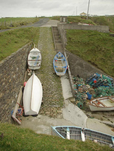 quay/wharfquay/wharf · 1.9 mi
 Malin Beg / Trabane Bay Coastal Promontory FortPromontory fort, coastal · 1.9 mi
 International Appalachian Trail Ulster-IrelandWalking route · 2.3 mi
 Glencolmcille Folk VillageMuseum · 3.4 mi
 An Trá Bheag (Trá Bheag an Ghleanna)Beach / strand · 3.5 mi
 Rathlin O'Birne IslandIslet · 3.5 mi