What is recorded here
Tobergallankillave is a holy well beside a Galway island quay, misnamed by surveyors who transcribed Tobar Cholmcille through a feverish islander. The genuine name belongs to Colmcille, while the garbled version still appears on official maps. A smooth cylindrical pothole, half a metre deep and wide, holds rainwater and tide-wash beneath the deck. People may have drunk from it, washed wounds in it, or simply watched it swallow light; the well keeps that much to itself.
Below HWM c. 10m N of a quay on E shore of the island, and c. 100m SE of its position as marked on OS 6-inch maps. Known locally as Tobar Cholmcille, the garbled OS version presumably having been 'taken...down from an islander with a bad cold' (Robinson 1985, 26-7). It consists of a natural smooth and deep (0.6m) cylindrical pothole (D 0.6m).
The above description is derived from the published 'Archaeological Inventory of County Galway Vol. I - West Galway'. Compiled by Paul Gosling (Dublin: Stationery Office, 1993).
Date of upload: 05 August 2010
Linked to St. Columba (Colmcille), the well is associated with early Christian pilgrimage and healing traditions. Local folklore suggests it was a site of spiritual significance, possibly used for baptism or as a place of prayer and penance.
The monument record does not grant public access. Check the route and ask the landowner before entering private land.
- What survives
- Recorded monument
Places near here
 Holy well in MaínisHoly well · 608 yd
 Well of the Seven DaughtersHoly well · 935 yd
 Oileán LachanIslet · 1683 yd
 Oileán na CaraIslet · 1.2 mi
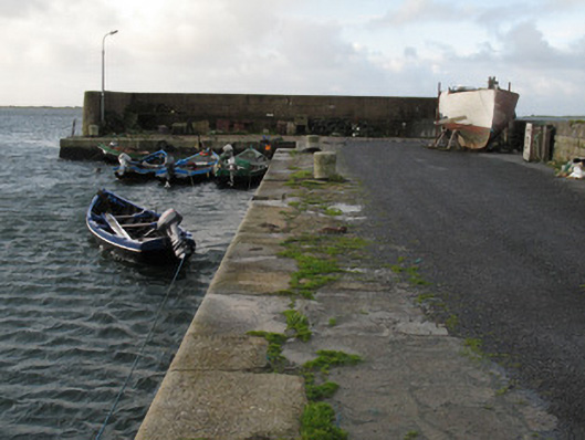 Cé Charna [Carna Quay]quay/wharf · 1.3 mi
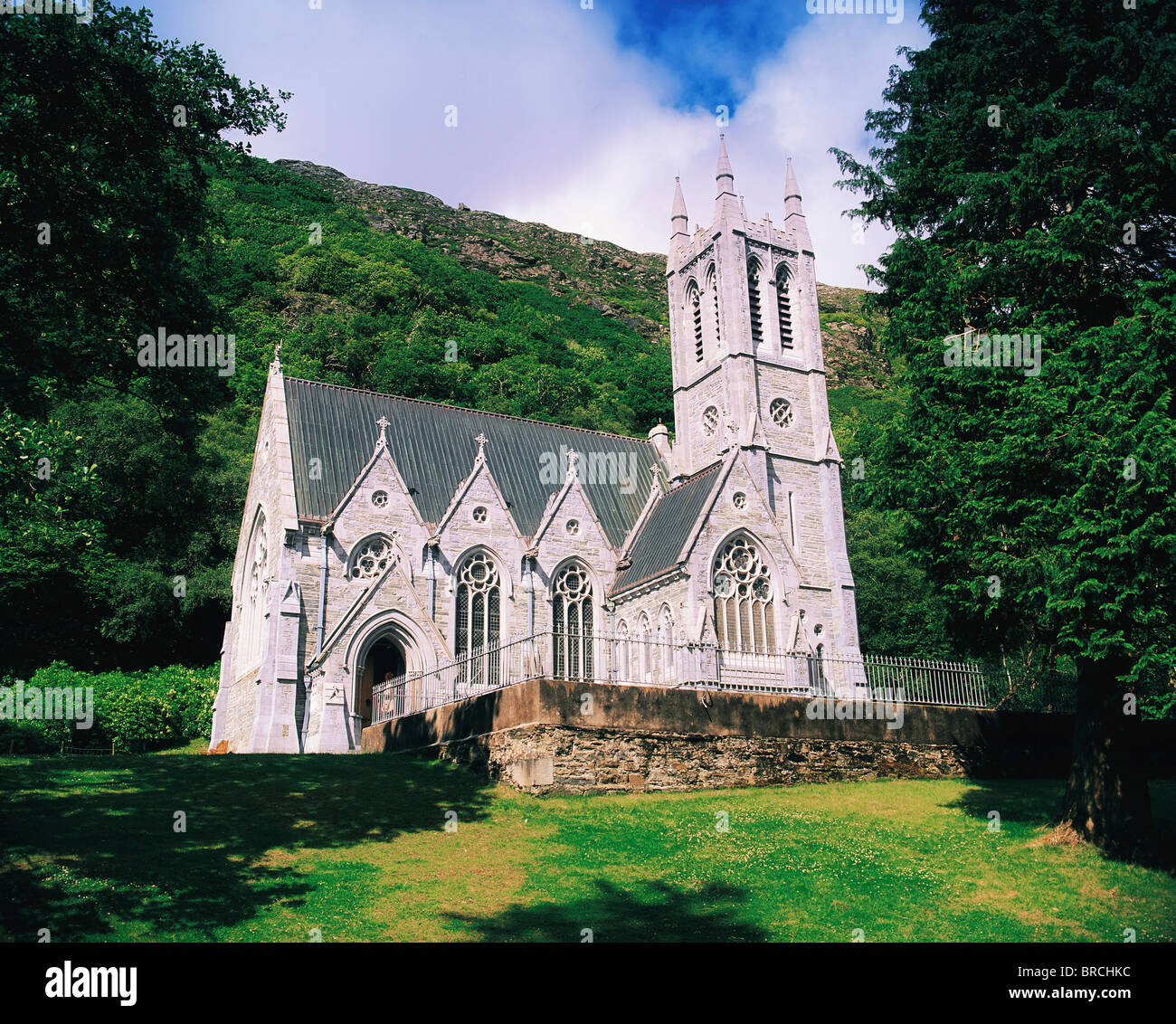 Chapel (in ruins)Church · 2.1 mi
 Ard Castle (in ruins)Castle, tower house · 2.2 mi
 Cora na hAirde MóireHeadland · 2.7 mi
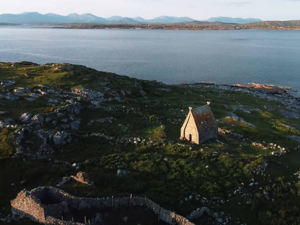 St. MacDara's Island Early Medieval Ecclesiastical SiteHeritage attraction · 3.4 mi
 Ceann MhásaHeadland · 3.6 mi
 Trá MhaíroisBeach / strand · 3.8 mi
 Knockboy ForestryForest · 4.0 mi