What is recorded here
Cnocan na hUlta is a rectangular graveyard set into grass-covered dunes on the southwest side of the island, where modern graves and older stone-lined pits share the same tight space. The site has kept growing, with a new extension pushing south and southwest as if the dead themselves were crowding the living for room. Wind strips the dunes bare around the markers, making the boundary between then and now hard to find.
In grass-covered dunes on SW side of the island. Kinown locally as Cnocán na hUlta (pers. comm. T. Robinson), it is indicated on 1st and 2nd eds of OS 6-inch map as a rectangular graveyard (60m by 38m). Both modern and stone-lined graves are visible in the interior. A modern extension has been added at S and SW. (Robinson 1985, 26)
The above description is derived from the published 'Archaeological Inventory of County Galway Vol. I - West Galway'. Compiled by Paul Gosling (Dublin: Stationery Office, 1993).
Date of upload: 05 August 2010
The monument record does not grant public access. Check the route and ask the landowner before entering private land.
- What survives
- Recorded monument
Places near here
 Well of the Seven DaughtersHoly well · 436 yd
 Holy well in MaínisHoly well · 1363 yd
 Oileán na CaraIslet · 1394 yd
 Roisín an ChalaidhIslet · 1648 yd
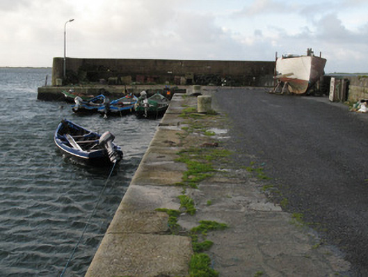 Cé Charna [Carna Quay]quay/wharf · 1.1 mi
 Cé an Aird Thiar [Ard West Quay]pier/jetty · 1.5 mi
 Ard Castle (in ruins)Castle, tower house · 1.6 mi
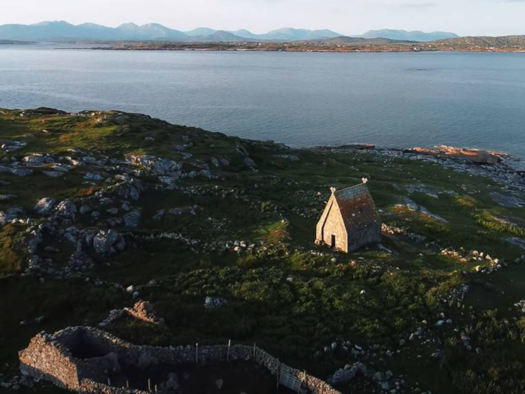 St. MacDara's Island Early Medieval Ecclesiastical SiteHeritage attraction · 2.8 mi
 Ceann MhásaHeadland · 3.0 mi
 Cora na hAirde MóireHeadland · 3.1 mi
 Trá MhaíroisBeach / strand · 3.2 mi
 Knockboy ForestryForest · 3.6 mi