What is recorded here
Ardnurcher, a medieval borough in County Westmeath, vanished from human memory but remains visible in aerial photographs as faint rectangular outlines beneath the grass. The settlement sat on a ridge between a church and castle, serving as a defended waypoint on the uncertain margin between colonial and Gaelic Ireland. Its streets and market houses burned repeatedly during raids, yet the earthworks endured long after the last resident left. The name itself, derived from the ford of the cast or throw, hints at a legendary wound inflicted upon a king, suggesting the land remembered violence long before it forgot the people who lived there.
According to Devitt (1899-1902, 285), King Rory O'Conor of Connaught 'in 1298 … burnt the village of Mainham and put the inhabitants to the sword'. The 'village' was not located but was probably in the vicinity of the motte and bailey (KD014-007001-) and medieval ecclesiastical remains (KD014-006001- to KD014-006004-).
Compiled by: Gearóid Conroy
Date of upload: 10 June 2011
The monument record does not grant public access. Check the route and ask the landowner before entering private land.
- What survives
- Recorded monument
Places near here
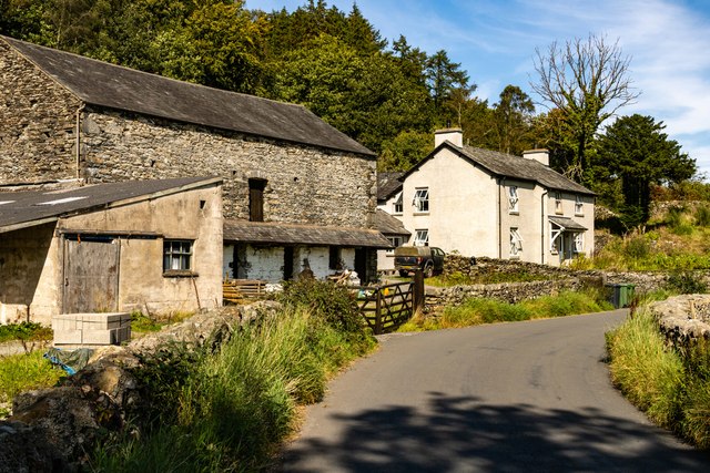 Mainham ForgeArchaeological place · 84 yd
 Queen Buans GraveCastle, motte and bailey · 102 yd
 Mainham VillageArchaeological place · 122 yd
 Burial GroundRuins · 300 yd
 CastleCastle, tower house · 1140 yd
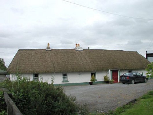 farm housefarm house · 1.1 mi
 1798 Rebellion MemorialMemorial · 1.4 mi
 Venerable Fr John Sullivan MemorialMemorial · 1.7 mi
 Loughtown CovertWood · 1.9 mi
 Dunne's IslandWood · 2.0 mi
 Grand Canal WayWalking route · 2.7 mi
 Donadea Forest ParkVisitor information · 2.7 mi