What is recorded here
Burial Ground at Mahoonagh stands atop a low rise beside river Deel, holding the ruined medieval parish church and headstones reaching back to 1775. Its square stone walls enclose living memory while the south edge drops suddenly into marsh, as if the dead leaned forward to watch the water. People still maintain the graves, proving that love does not expire merely because centuries have passed.
Atop low rise, c. 150m NW of river Deel; on S side of road. Roughly square graveyard (L c. 70m) with ruin of medieval parish church (LI036-172001-) of Mahoonagh just S-of-centre. Enclosed by stone wall, except to S where there is a steep drop to marshy area. West side lower and divided from rest by sharp break in slope. Still in use and maintained; earliest headstone noted dated 1775. Single mausoleum against N wall of church.
Compiled by: Denis Power
Date of upload: 26 August 2011
See attached ASI aerial photograph ASIAP – 325/9, 11, 12, 13 on 05/10/2002.
The monument record does not grant public access. Check the route and ask the landowner before entering private land.
- What survives
- Recorded monument
Places near here
 Mahoonagh Church (in ruins)Church · 17 yd
 Castle MahonCastle · 192 yd
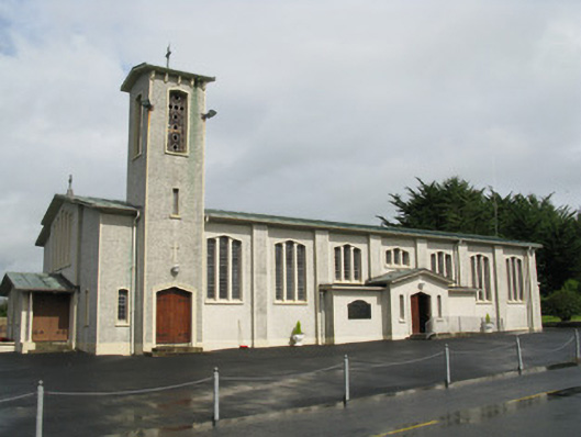 Catholic Church of Saint John the Baptistchurch/chapel · 289 yd
 Enclosure in Mahoonagh BegEnclosure · 606 yd
 BarrowBarrow, ring-barrow · 1.3 mi
 Ballynoe Castle (in ruins)Castle, tower house · 2.2 mi
 Garbally WellSpring · 3.0 mi
 Sunday WellSpring · 3.8 mi
 European ashEuropean ash · 4.4 mi
 Ballagh MountainMountain / peak · 5.4 mi
 Limerick GreenwayWalking route · 6.3 mi
 Sugar HillMountain / peak · 7.1 mi