What is recorded here
Fairy fort / earthen ringfort in Mahonstown is a fairy fort or earthen ringfort in Mahonstown, County Westmeath, Ireland. The 1971 record described the site as a large subtriangular area measuring 59.5 metres along a north-northwest to south-southeast axis and 45 metres along an east-northeast to west-southwest axis, enclosed by an inner bank, a wide and deep fosse, and a substantial outer bank. The inner bank, which is steep on the exterior and almost reduced to a scarp, features disturbance gaps at the north-northwest and north, while the outer bank is well preserved from the southeast through west to north-northwest but very slight from the north-northeast through east to southeast. A gap in the inner bank and a partially blocked gap in the outer bank at the southeast may represent the entrance, and the interior contains a house site in the south quadrant.
Situated on a slight rise, in gently undulating pasture, with extensive views to SE. Depicted on the revised 1913 ed. OS 25-inch map as a roughly oval-shaped earthwork. Monument described in 1971 as a large subtriangular-shaped area (59.5m NNW-SSE; 45m ENE-WSW) enclosed by a bank, a fosse and an outer bank. The inner bank is steep on the exterior and is almost reduced to a scarp. It has disturbance gaps at NNW and N. The intervening fosse is wide and deep and has a small animal pen at NNE. The substantial outer bank is well preserved from SE-S-W-N-N and is very slight from NNE-E-SE. It has a gap at W and N and a slight disturbance gap at NNW. A large portion has been removed from N-NNE along with a large area of ground outside it which has been quarried. A gap (Wth at top 5.6m; basal Wth 2.6m) in the inner bank and a very slight gap (Wth at top 4.3m; basal Wth 2.4m) in the outer bank at SE, which is partially blocked by two relatively loose, may represent the entrance. The interior has a gentle ENE-facing slope with a house site (WM026-099001-) in the S quadrant. Other slight scarps and depressions within do not form any recognisable plan and may be natural features.
Compiled by Alison McQueen, Vera Rahilly and Caimin O’Brien.
Date of upload: 04 November 2019
This remains an important historical record, but the official description says the monument is no longer visible or has been destroyed. The monument record does not grant public access. Check the route and ask the landowner before entering private land.
- What survives
- No visible remains or recorded as destroyed
Places near here
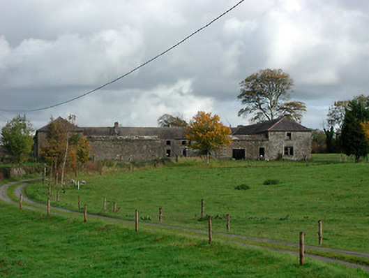 Gaybrook Housefarmyard complex · 1.0 mi
 post boxpost box · 1.0 mi
 Bawn in Simonstown (fartullagh By.)Bawn · 1.2 mi
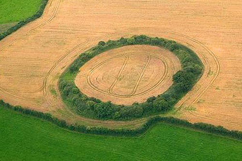 Fairy fort / earthen ringfort in GortumlyFairy fort / earthen ringfort · 1.5 mi
 Hut site in Corbally (fartullagh By.)Hut site · 1.6 mi
 Castle in RuinsCastle, tower house · 1.8 mi
 Derrygreenagh HillMountain / peak · 4.6 mi
 Dysart IslandIsland · 5.0 mi
 Ash IslandIslet · 5.1 mi
 Knockdrin HillMountain / peak · 5.2 mi
 Roundhill WoodForest · 10 mi
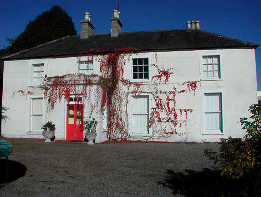 Rathcam Househouse · 1.1 mi