
What is recorded here
Battle of the Fords, 1689: central crossing in Magirr, County Tyrone. A ford is a knife-edge of a road: half a mile of water, one breath of land, and men must cross or drown. That is why fords appear in battles. The official label is plain, but the shape is not forgotten: a narrow crossing where many bodies moved at once.
The official Northern Ireland record identifies this as BATTLE SITE: BATTLE OF THE FORDS, Central crossing, 1689. Recorded period: C17TH; POST-MED. The official map point was placed at the centre of the recorded archaeological site from the source map reference.
The Battle of the Fords in 1689 near Strabane was fought between Jacobite forces loyal to James II and Protestant Williamite troops supporting William of Orange. The Jacobites won a tactical victory, delaying Williamite advances in the region and contributing to the broader struggle for control of Ireland during the Williamite War.
The monument record does not grant public access. Check the route and ask the landowner before entering private land.
- What survives
- Recorded monument
Places near here
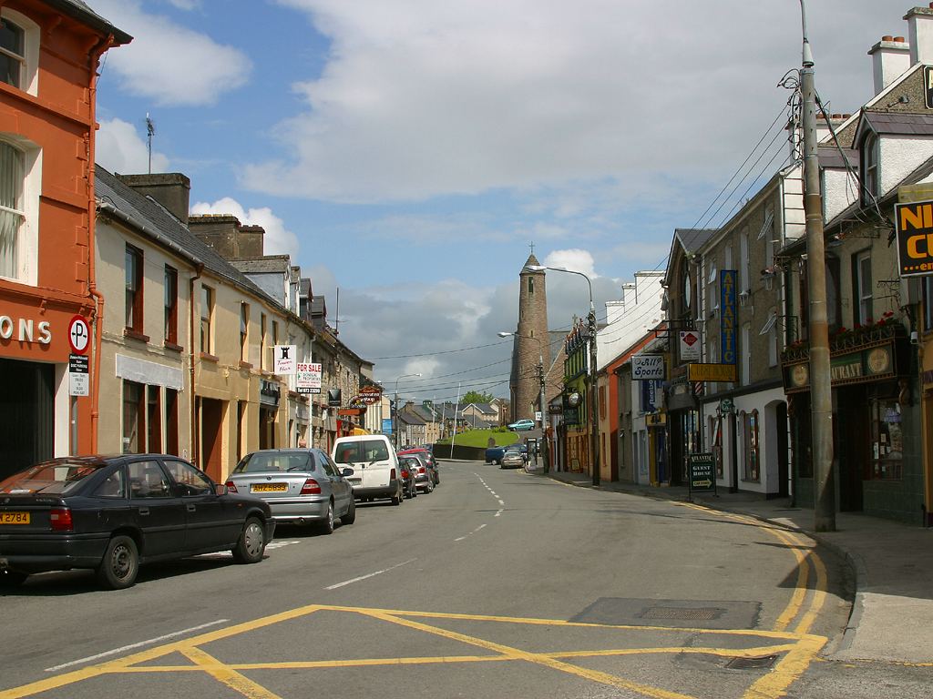 Town defences in LiffordTown defences · 208 yd
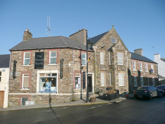 Lifford Garda Stationhouse, RIC barracks · 209 yd
 Lifford Youth Reachrectory/glebe/vicarage/curate's house · 259 yd
 Second World War MemorialMemorial · 1191 yd
 Abercorn FactoryHeritage attraction · 1212 yd
 CASTLE in Town Parks OF StrabaneCASTLE · 1242 yd
 Gray PrinterHeritage attraction · 1362 yd
 1916 Easter Rising Memorial StoneMemorial · 1427 yd
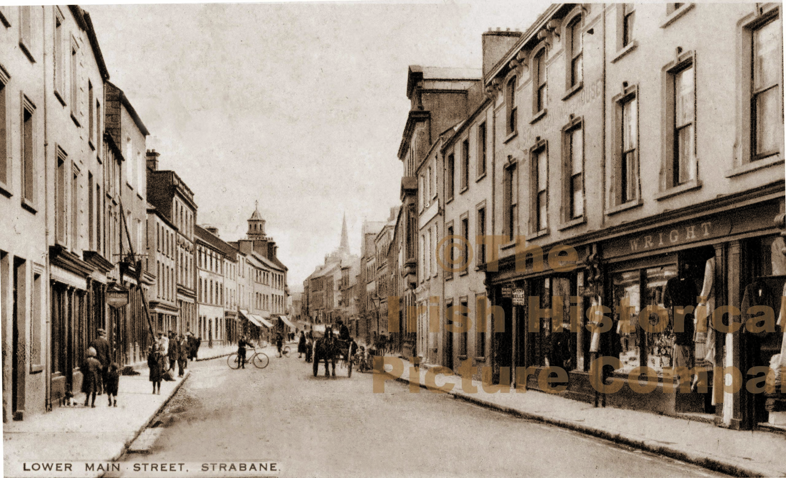 PLANTATION CASTLE (unlocated) in StrabanePLANTATION CASTLE (unlocated) · 1590 yd
 HOLY WELL in Town Parks OF StrabaneHOLY WELL · 1.1 mi
 Battle of Knockavoe BattlefieldBattlefield · 1.5 mi
 Strabane Glen (Bird Sanctuary)Wood · 1.5 mi
Other information
Photo: Credit not shown in the picture search · Rights wording not checked; contact us if this picture should be removed