What is recorded here
Fairy fort / earthen ringfort in Magheramore is a fairy fort or earthen ringfort in Magheramore, County Westmeath, Ireland. The 1973 account described the small, roughly circular-shaped earthwork as enclosed by a low bank and a shallow external fosse, situated on a slight rise in pasture near the Athlone-Mullingar railway line. An entrance was recorded at the east, though the interior was entirely overgrown with blackthorn and briars, making examination impossible. The monument is visible today as a tree-planted earthwork on Digital Globe aerial photography, with Cloghawareschal Castle lying to the southwest.
Situated on a slight rise, in pasture, c. 25m to S of the Athlone-Mullingar railway line. Site of Cloghawareschal Castle (WM030-099----) lies c. 145m to SW. Depicted on the revised 1910 ed. OS 25-inch map as a roughly circular-shaped earthwork enclosed by a subrectangular-shaped outwork. Monument described in 1973 as a small, roughly circular-shaped earthwork enclosed by a low bank and a shallow external fosse. The earthwork is enclosed by a roughly rectangular-shaped field bank. There is an entrance at E. The interior is entirely overgrown with blackthorn and briars and is impossible to examine. Monument is visible today as a tree-planted earthwork on Digital Globe aerial photography.
Compiled by Alison McQueen, Vera Rahilly and Caimin O’Brien.
Date of upload: 09 November 2019
The monument record does not grant public access. Check the route and ask the landowner before entering private land.
- What survives
- Recorded monument
Places near here
 Cloghawareschal CastleCastle, unclassified · 190 yd
 Farnaghcountry house · 1223 yd
 Enclosure in KillinroanEnclosure · 1525 yd
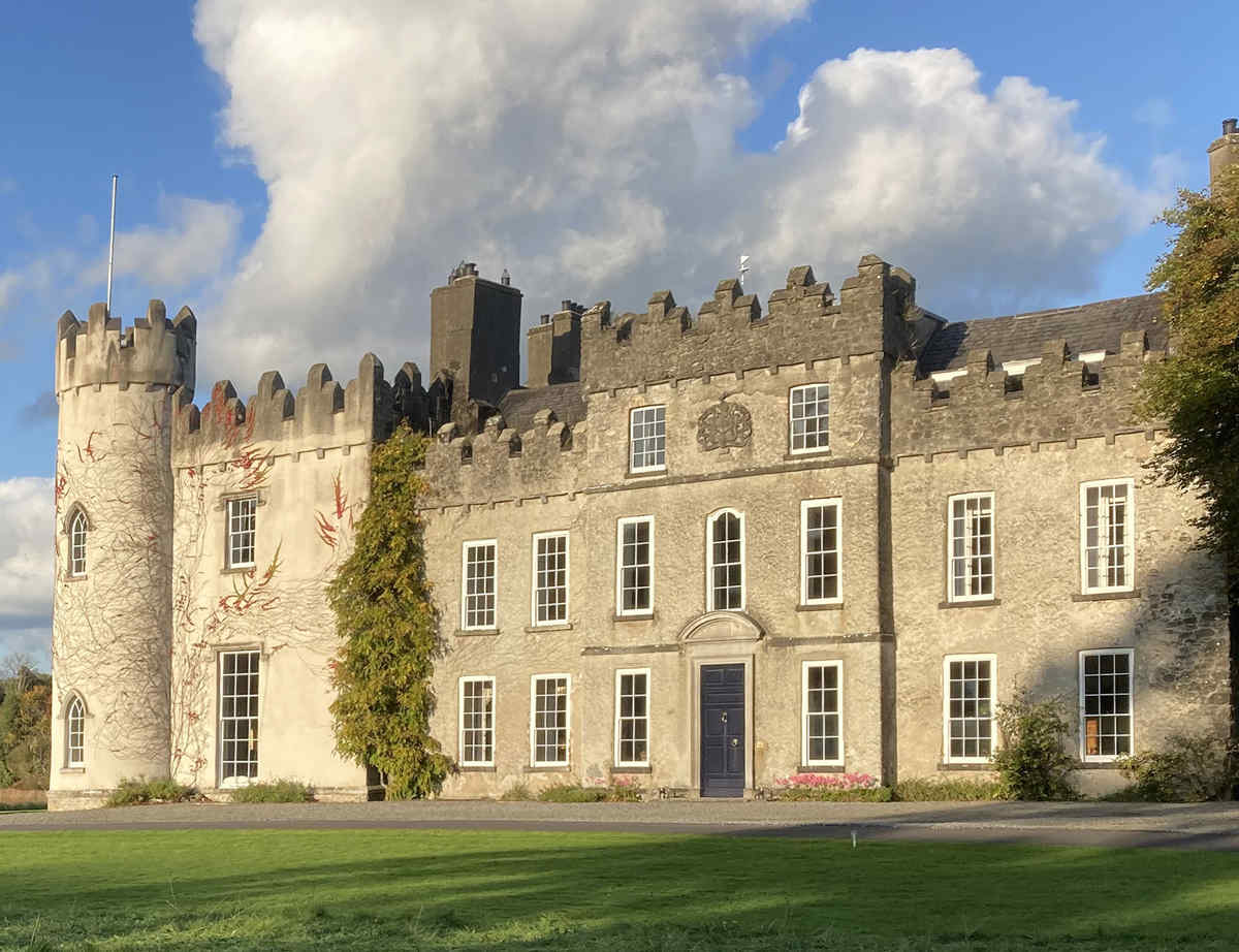 CastleCastle, unclassified · 1543 yd
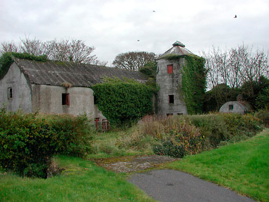 mill (water)mill (water) · 1622 yd
 Dún na SíMuseum · 1.7 mi
 Dún na Sí Heritage CentreMuseum · 1.7 mi
 Charles BianconiMemorial · 2.3 mi
 Moate HillMountain / peak · 2.5 mi
 European ashEuropean ash · 4.0 mi