What is recorded here
Half-buried in grass and shadow, the moated site in Maghera still holds its shape: a rectangular bank with rounded corners, a broken entrance on the north, and a faint watercut outside. It sits on a gentle south-facing slope above pasture, close enough to Rathbranagh to belong to neighbourly memory, yet old enough that no hand-built room or named owner remains clear. The earth may have kept a home, a shrine, a boundary marker or a child’s climbing hill; in that uncertainty it becomes a room without walls, waiting for someone to remember what it held.
On a slight S-facing slope, in pasture, with moderate views in all directions. A townland boundary with Rathbranagh lies 110m to W. Depicted on the 1897 ed. OS 25-inch map as a subrectangular-shaped earthwork. Monument surveyed by the ASI in 2000 and described as a raised rectangular-shaped area (approx. 40m E-W; 30m N-S) defined by an earthen bank (Wth 4.1m; int. H 0.5m; ext. H 1.4m) with rounded corners (H 0.8m) reduced to a scarp midway along the W side, with external fosse (base Wth 2m; overall Wth 4.9m; D 0.6m), a break (Wth 4m) in the bank midway along the N side may be an original entrance. A hedgerow field boundary is incorporated into the outer edge of the fosse along the S side. The interior is level and densely overgrown. Stone wall field boundaries radiate fout rom the external face of the earthen bank at NE, SE and SW corners. Monument is visible as a tree-covered earthwork on Digital Globe orthophotos taken 2011-13 and on Google Earth orthoimages taken 28/06/2018.
See attached sketch plan surveyed and drawn by ASI and Google Earth orthoimages.
Compiled by: Alison McQueen and Vera Rahilly
Date of upload: 29 July 2020
The monument record does not grant public access. Check the route and ask the landowner before entering private land.
- What survives
- Recorded monument
Places near here
 Enclosure in MagheraEnclosure · 318 yd
 IndicatedEnclosure · 660 yd
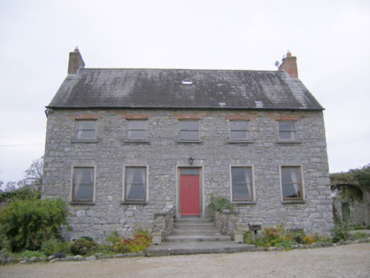 Tory Hill Housecountry house · 1178 yd
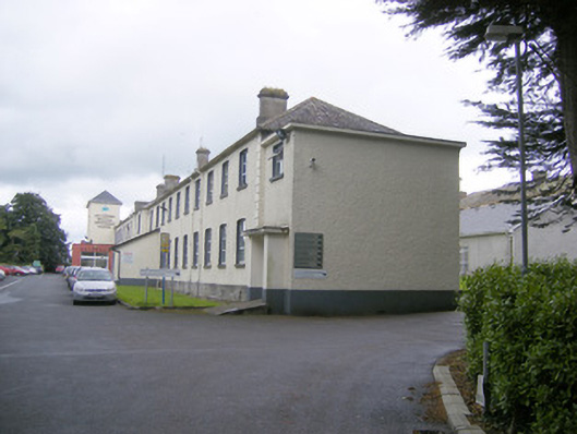 workhouseworkhouse · 1377 yd
 Biodiversity in the Maigue CatchmentVisitor information · 1.3 mi
 Fanningstown Castle (in ruins)Castle, tower house · 1.4 mi
 CastleCastle, Anglo-Norman masonry castle · 1.6 mi
 European ashEuropean ash · 1.8 mi
 Dysert AenghusaHeritage attraction · 2.0 mi
 Monasteranenagh AbbeyHeritage attraction · 2.4 mi
 GinkgoGinkgo · 3.4 mi
 Villiers WellSpring · 3.7 mi