What is recorded here
Embanked enclosure is a fairy fort or earthen ringfort in Luskanargid, County Waterford, Ireland. The 1999 inventory recorded a slightly raised, dished circular grass-covered area measuring 46 metres north-south and 44.5 metres east-west on the wide, flat plain of the Cappagh valley. A one to 1.3-metre scarp defined the edge, while traces of an external fosse ran from southwest through north. No visible entrance appeared in that account.
Located in pasture on the wide, flat plain of the Cappagh valley. Slightly raised and dished circular grass-covered area (diam. 46m N-S; 44.5m E-W) defined by a scarp (H 1-1.3m), with traces of an external fosse (Wth of top 10.5-13.5m; Wth of base 4-6m; max. D 0.3m) SW-N. There is no visible entrance.
The above description is derived from the published 'Archaeological Inventory of County Waterford' (Dublin: Stationery Office, 1999). In certain instances the entries have been revised and updated in the light of recent research.
Compiled by: Michael Moore. Date of upload: 25th August, 2011.
The monument record does not grant public access. Check the route and ask the landowner before entering private land.
- What survives
- Recorded monument
Places near here
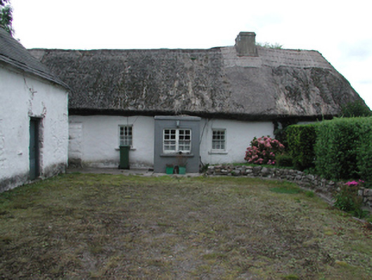 Kilrush Cottagefarm house · 533 yd
 CastleCastle, motte · 1247 yd
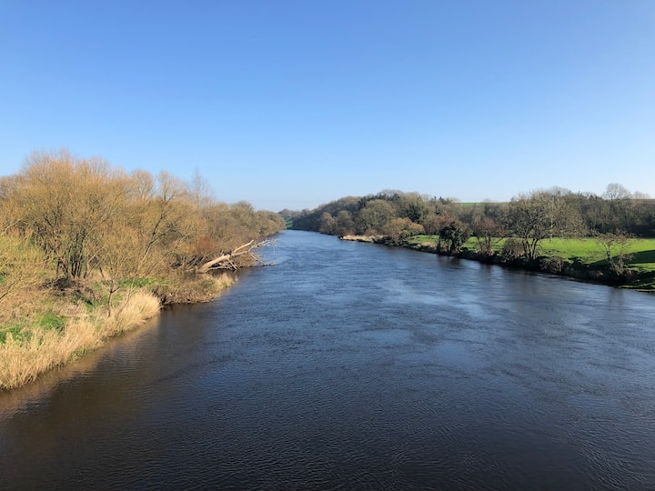 Enclosure in Ballyduff Beg,ballymacmague EastEnclosure · 1432 yd
 Embanked enclosureEnclosure · 1475 yd
 Saint Brigid's Well Brewerygates/railings/walls · 1544 yd
 Grattan SquareVisitor information · 1.2 mi
 Waterford County MuseumMuseum · 1.3 mi
 Castle (in ruins)Castle, unclassified · 1.4 mi
 Dungarvan World War I MemorialMemorial · 1.4 mi
 Master McGrathMemorial · 1.4 mi
 Dungarvan CastleCastle · 1.4 mi
 Cunnigar PointHeadland · 1.8 mi