What is recorded here
In pasture, on a narrow level terrace near the foot of a gentle S-facing slope. A roughly circular area (int. diam. 15m N-S; 17.6m E-W) defined by a stone wall (Wth 1.3m; int. H 0.5m; ext. H 0.5m), only one course high, SSE-NE and elsewhere by a spread of collapsed stones (Wth 1.5m; int. H 0.2m; ext. H 0.3m) with traces of external stone facing. The entrance at NE is indicated on the 1913 OS 6-inch map. A small animal pen (int. dims. 3.6m N-S; 2.8m E-W) with collapsed stone walls (Wth 1.4m; int. H 0.1m; ext. H 0.3m) is in the NW quadrant of the interior, abutting the cashel wall. This has an entrance (Wth 2.3m) at E. Immediately to S of the animal pen is a small field clearance cairn (2.2m x 1.5m; H 0.6m). A low natural terrace extends to E and W of the cashel for 17m and 30m respectively. According to local information, stone facing of these terraces, some of which survives, was carried out during land improvements.
The above description is derived from the published 'Archaeological Inventory of County Sligo' compiled by Ursula Egan, Elizabeth Byrne, Mary Sleeman with Sheila Ronan and Connie Murphy (Dublin Stationery Office, 2005).
Date of upload: 18 January 2008
The monument record does not grant public access. Check the route and ask the landowner before entering private land.
- What survives
- Recorded monument
Places near here
 IndicatedEnclosure · 365 yd
 Enclosure in BleachgreenEnclosure · 690 yd
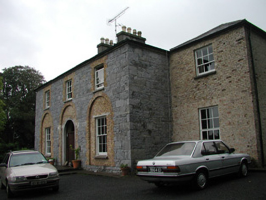 Glebe Houserectory/glebe/vicarage/curate's house · 724 yd
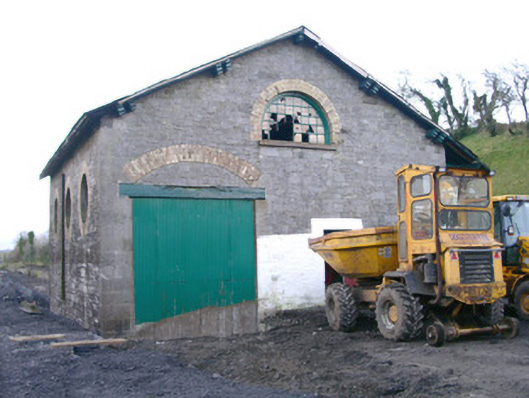 Collooney Railway Stationstore/warehouse · 777 yd
 Teeling MonumentMemorial · 970 yd
 Battle of Collooneybattle · 986 yd
 BunreecoillMountain / peak · 1540 yd
 SlievewardMountain / peak · 1.3 mi
 European ashEuropean ash · 1.5 mi
 Union RockForest · 1.5 mi
 Castle (Site of)Castle, unclassified · 1.7 mi
 CastleCastle, unclassified · 1.9 mi