What is recorded here
Luggacurren in County Laois is a recorded cave place, yet the visible landmark is a faded ringfort where a field wall cut through the middle and farming erased the western half. The eastern side still rises slightly, with faint ditch marks at the north and southeast, preserving the shape of a small early medieval enclosure rather than a grand monument. What remains is a boundary half forgotten, the kind of place where ordinary fields keep swallowing the lives that once shaped them.
The Irish Caves Database records Luggacurren at Luggacurren in County Laois. This point comes from its public cave register. A cave map point does not by itself grant access: check local conditions and ask the landowner where needed.
The cave register does not grant public access. Check conditions and ask the landowner before entering private land.
Places near here
 The Dun of LuggacurrenEnclosure · 199 yd
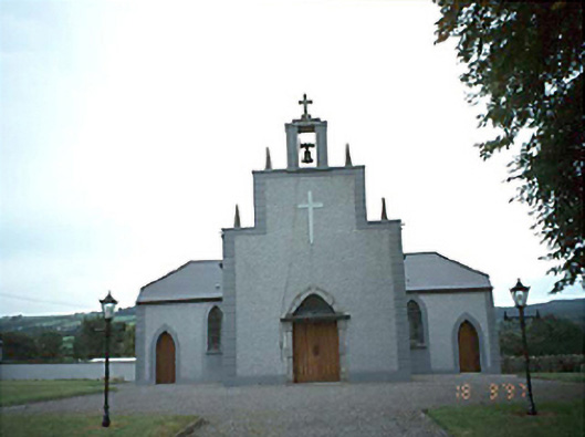 Catholic Church of the Holy Rosarychurch/chapel · 943 yd
 Enclosure in TomoclavinEnclosure · 954 yd
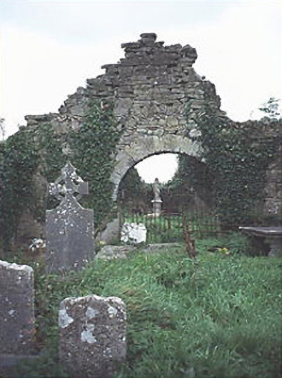 graveyard/cemeterygraveyard/cemetery · 977 yd
 IndicatedCastle, unclassified · 1134 yd
 Tullamoy Castle (ruins)Castle · 1.3 mi
 DM PenderMemorial · 2.6 mi
 Mass Rock WalkWalking route · 3.1 mi
 Timahoe Church and Round TowerVisitor information · 3.2 mi
 Cobbler's Castle WalkWalking route · 3.2 mi
 Mass RockNamed rock · 3.3 mi
 Oughaval Wood MapVisitor information · 3.4 mi