What is recorded here
Scarped sub-circular platform (int. dims. 60m E-W, 50m N-S, c. 1.2m) on low natural rise surrounded by low-lying swampy ground on all sides except W, where ground rises appreciably. A modern wall extends N-S just outside the platform on the W, thus producing a fosse-like feature between the scarp and platform. Interior of site badly mutilated by construction of cattle pound and silage pit.
The following description is derived from both the published 'Archaeological Inventory of County Louth' (Dublin: Stationery Office, 1986) and the 'Archaeological Survey of County Louth' (Dublin: Stationery Office, 1991). In certain instances the entries have been revised and updated in the light of recent research.
Date of upload/revision: 17 July 2007
Scarped sub-circular platform (int. dims. 60m E-W, 50m N-S, c. 1.2m) on low natural rise surrounded by low-lying swampy ground on all sides except W, where ground rises appreciably. A modern wall extends N-S just outside the platform on the W, thus producing a fosse-like feature between the scarp and platform. Interior of site badly mutilated by construction of cattle pound and silage pit.
The monument record does not grant public access. Check the route and ask the landowner before entering private land.
- What survives
- Recorded monument
Places near here
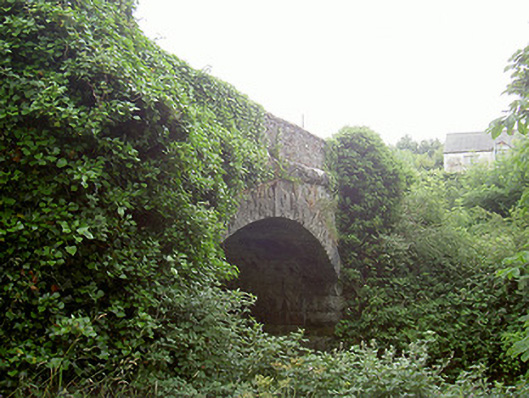 bridgebridge · 837 yd
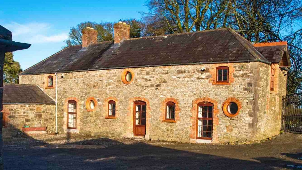 Enclosure in ArtoneyEnclosure · 1019 yd
 Enclosure in Philipstown (ardee By., Philipstown Par.)Enclosure · 1101 yd
 MoatCastle, motte · 1350 yd
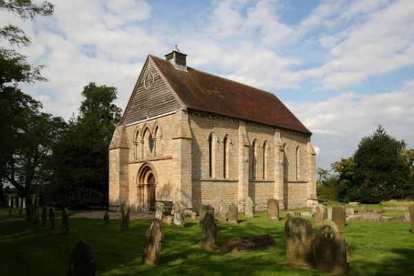 R.C. ChapelChurch · 1380 yd
 RathneestinCastle, tower house · 1660 yd
:no_upscale()/cdn.vox-cdn.com/uploads/chorus_asset/file/25593391/County_Louth_6th.jpg) LouthMountain / peak · 1.1 mi
LouthMountain / peak · 1.1 mi SycamoreSycamore · 1.2 mi
 European YewEuropean Yew · 1.3 mi
 Flat cemetery in AnnaheanFlat cemetery · 4.2 mi
 Matthew's HillMountain / peak · 5.9 mi
 Photo GalleryHeritage attraction · 7.2 mi