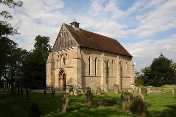
What is recorded here
Marked 'R. C. Chapel' on the 1835 'OS 6-inch' map and 'R.C. Church (In Ruins)' on the 1911 'OS 6-inch' map. In ruinous state (L 25m; Wth 12m). (SMR file). The Irish Folklore Commission Schools' Manuscripts notes that the 'The remains of the old church walls are to be seen in the new cemetery in Louth. The new cemetery was first used about when the new church was built' (933, 142-3).
Compiled by: Claire Breen
Date of upload: 4 April 2012
The monument record does not grant public access. Check the route and ask the landowner before entering private land.
- What survives
- Recorded monument
Places near here
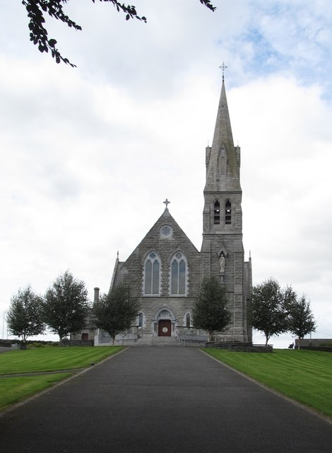 Catholic Church of the Immaculate Conceptionchurch/chapel · 71 yd
 MoatCastle, motte · 244 yd
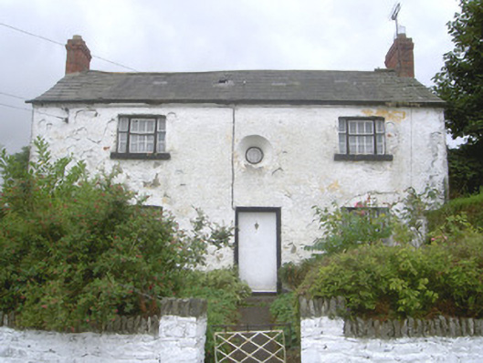 Old School Househouse · 320 yd
 Font in Richard Taaffe's HoldingFont · 370 yd
 Church TowerRound tower · 486 yd
:no_upscale()/cdn.vox-cdn.com/uploads/chorus_asset/file/25593391/County_Louth_6th.jpg) LouthMountain / peak · 789 yd
LouthMountain / peak · 789 yd RathneestinCastle, tower house · 1.6 mi
 SycamoreSycamore · 2.0 mi
 European YewEuropean Yew · 2.1 mi
 Flat cemetery in AnnaheanFlat cemetery · 4.9 mi
 BallybarrackMountain / peak · 5.3 mi
 Photo GalleryHeritage attraction · 6.4 mi
Other information
Photo: Credit not shown in the picture search · Rights wording not checked; contact us if this picture should be removed