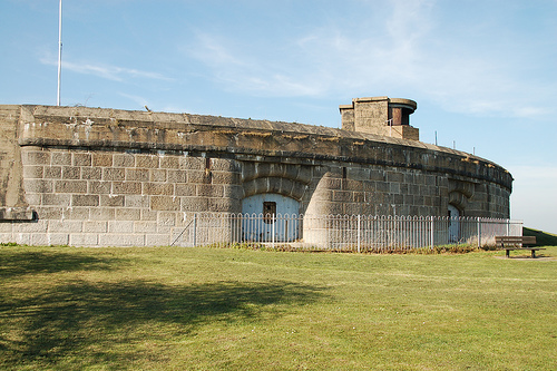
What is recorded here
Murray's Fort stands in County Louth, Ireland, a name dropped into the green landscape like a stone into water. Whether it marked a boundary, a home or a warning, people once lived beside that name and shaped it with their days. The fort keeps its distance still, offering no more than a shadow of purpose and a suggestion of hands that built or abandoned it.
Murray's Fort is recorded as a archaeological place in County Louth. Its open map record supplies this location and any linked names or public references.
Places near here
 Crinnians FortArchaeological place · 469 yd
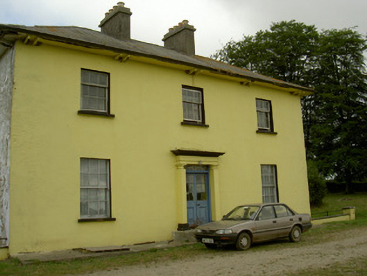 Tullakeel Househouse · 934 yd
 IndicatedFairy fort / earthen ringfort · 1255 yd
 The MountCastle, motte and bailey · 1505 yd
 Matthew's HillMountain / peak · 1.1 mi
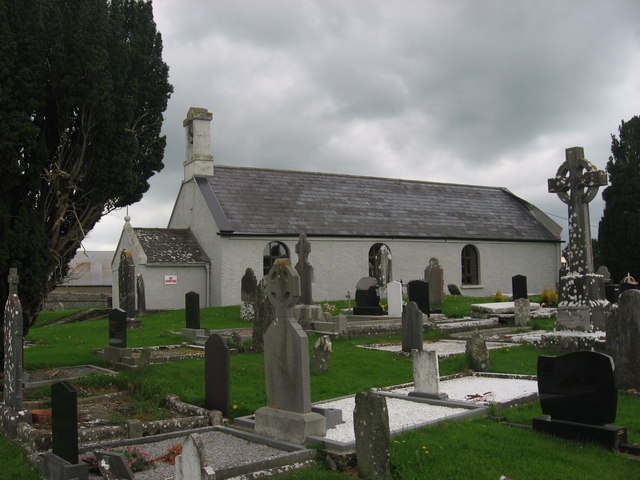 St. Medocs ChurchChurch · 1.3 mi
 MoatCastle, motte · 1.4 mi
 Flat cemetery in AnnaheanFlat cemetery · 2.2 mi
 Yellow HillMountain / peak · 2.6 mi
 Tree IslandWood · 3.0 mi
 Long PlantationForest · 4.3 mi
 Sir Frederick Foster MemorialMemorial · 4.8 mi
Other information
Photo: Credit not shown in the picture search · Rights wording not checked; contact us if this picture should be removed