
What is recorded here
Indicated occupied the SE end of a NW-SE ridge above the Nore river valley in County Kilkenny, presenting a thirty-metre circular enclosure visible on the 1839 map. By 1946 it had become a tree-ring before ploughing erased it completely. The loss transforms memory into speculation: perhaps children ran its ridge at dusk, perhaps adults measured shadow or distance from its edge. What remains is shape, not substance; a circle large enough to hold several people, now indistinguishable from ordinary grassland.
On the SE end of a NW-SE ridge, on the E edge of the floor of the Nore river valley, in rolling grassland. There are good views in all directions. Indicated as a circular enclosure (diam. c. 30m) on the 1st (1839) ed. OS 6-inch map. On the 1946-7 OS 6-inch map revision the enclosure is indicated as a circular tree-ring. The field has subsequently been reclaimed and the enclosure levelled. According to the landowner the enclosure was known locally as a 'rath'. The enclosure is not visible at ground level.
Compiled by: Jean Farrelly
Date of upload: 28 October 1987
The monument record does not grant public access. Check the route and ask the landowner before entering private land.
- What survives
- Recorded monument
Places near here
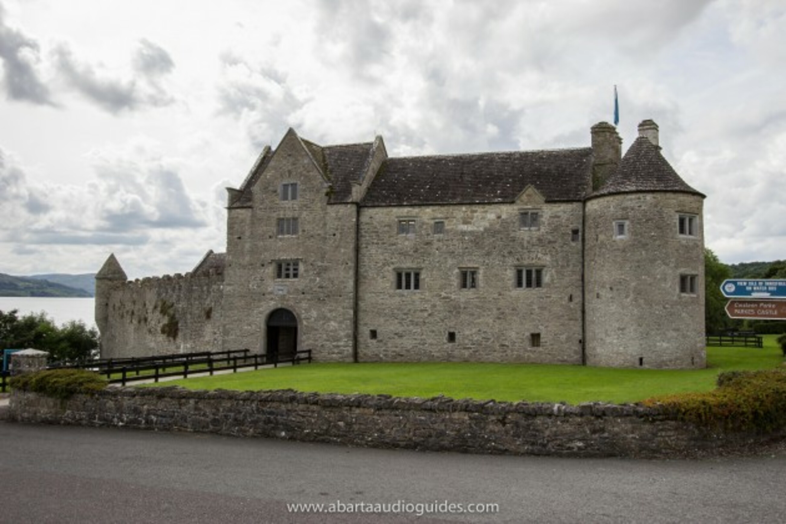 Enclosure in LoughmeransEnclosure · 258 yd
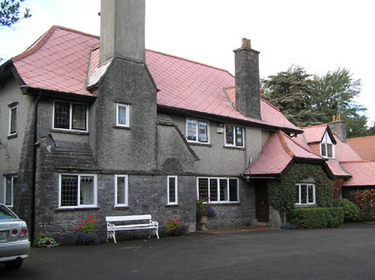 Aut Even Househouse · 452 yd
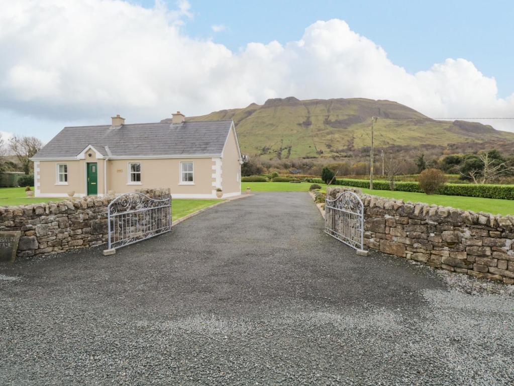 Enclosure in BaunEnclosure · 566 yd
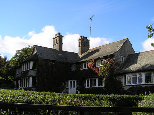 Oak Lodgehouse · 656 yd
 Lady DesartMemorial · 1031 yd
 Jurassic NewparkHeritage attraction · 1.1 mi
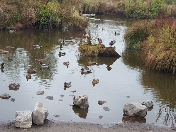 Newpark Marsh ParkNature reserve · 1.2 mi
 Rock WoodWood · 1.3 mi
 Kilkenny AFC & Kilkenny & District Soccer LeagueMemorial · 1.3 mi
 Stephens Barracks MuseumMuseum · 1.4 mi
 Saint Canice's Cathedral Round TowerViewpoint · 1.5 mi
 Kilkenny Old Jail and CourthouseVisitor information · 1.7 mi
Other information
Photo: Credit not shown in the picture search · Rights wording not checked; contact us if this picture should be removed