What is recorded here
Bruree Forts are twin earthen rings on the west bank of the Maigue river, named Raheens from the Irish for little forts. One circle measures seventeen metres across, bounded by ditches and banks that a farm track now cuts through. Dense overgrowth has swallowed the stones and soil, hiding the platforms where people likely lived, loved and argued beneath open skies. The river still flows past the buried edge, carrying memory west while the for
In pasture, on W bank of Maigue river. Site is now completely covered by dense overgrowth. A recent farm trackway seems to have truncated its N edge; it is bounded to E by field boundary and to W by driveway. Area immediately NW of site has been planted with coniferous trees. Westropp (1916-7, 487-8, plate 40) describes site as raised roughly circular area (diam. 17.2m), with low bank (H 0.6m) along edge, defined by scarped edge (H at NE 8.4m, elsewhere c. 4.8m); outside this is fosse, bank and second fosse (Wth 3.6m; D 1.8m). According to Seoighe (2000, 209-10) known locally, together with adjacent site (LI039-101---), as the Raheens 'a name derived from the Irish, Raithini, meaning "little forts"'. Listed by O Riordain (1974, 21) as example of 'platform-type ring-fort'. Located 150m WNW from companion site (LI039-101---)
Compiled by: Denis Power
Date of upload: 26 August 2011
The monument record does not grant public access. Check the route and ask the landowner before entering private land.
- What survives
- Recorded monument
Places near here
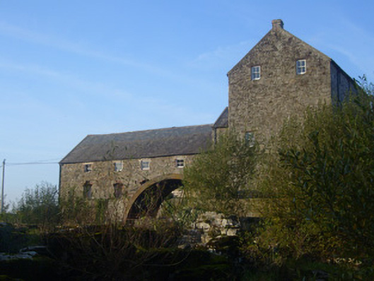 The Old Millmill (water) · 363 yd
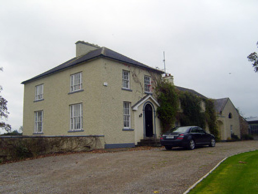 Glebe Houserectory/glebe/vicarage/curate's house · 455 yd
 Bruree Castle Lower (in ruins)Castle, Anglo-Norman masonry castle · 591 yd
 Bruree Castle Upper (ruins)Castle · 611 yd
 OutlinedGraveyard · 616 yd
 IndicatedHoly well · 686 yd
 King John's CastleCastle · 4.3 mi
 Lady's WellSpring · 4.8 mi
 ToberSpring · 4.8 mi
 KnockfeerinaMountain / peak · 6.7 mi
 Famine stoneMemorial · 7.3 mi
 Flat cemetery in Knockainy WestFlat cemetery · 9.6 mi