What is recorded here
Fairy fort in Lissagernal, County Longford: a circular earthen ringfort on a prominent rise, marked ‘Fort’ on the 1837 Ordnance Survey map, levelled in 1976 and no longer visible. It may have been a home, a boundary marker, or a place people avoided at night; its shape suggests pride, defense, or ritual rather than ordinary farmwork. The land kept it long enough to be drawn, then took it back.
Immediately to the SE of the highest point of a prominent rise. Depicted as a circular enclosure with the designation 'Fort' on the 1837 ed. of the OS 6-inch map. The monument was levelled in 1976 (SMR file) and is not visible at ground level.
Compiled by: Patrick F. O'Donovan
Date of upload: 26 August 2011
The monument record does not grant public access. Check the route and ask the landowner before entering private land.
- What survives
- Recorded monument
Places near here
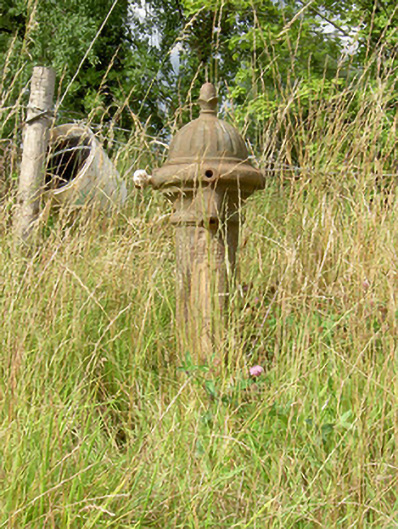 water pumpwater pump · 579 yd
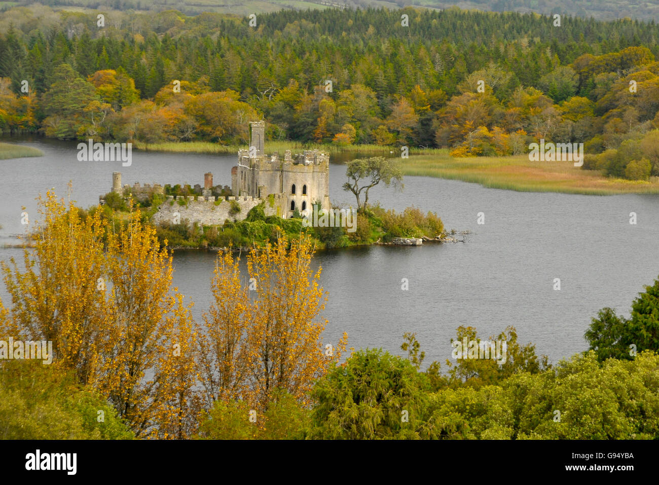 Sallow IslandCrannog · 859 yd
 CastleCastle, unclassified · 888 yd
 Enclosure in ClooniherEnclosure · 1177 yd
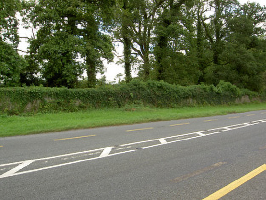 Castle Forbesdemesne walls/gates/railings · 1544 yd
 Bawn in Castleforbes DemesneBawn · 1.2 mi
 Lebanon CedarLebanon Cedar · 1.3 mi
 Common LimeCommon Lime · 1.5 mi
 Long IslandIslet · 1.7 mi
 St. Barry's WellSpring · 1.9 mi
 Rabbit IslandIslet · 3.6 mi
 Saint Mel's CathedralCathedral · 4.9 mi