What is recorded here
Lissaboreed is a subcircular rath in Galway grassland, measuring thirty-six by thirty-two metres, with two banks and a central ditch. Quarrying scarred the eastern edge, but the northwest bank still stands firm beside the stream. The fair condition suggests human hands shaped it long before modern tools broke its circle.
In grassland, c. 200m N of a stream. Subcircular overgrown rath (NE-SW 36m, NW-SE 32m), in fair condition, defined by two banks and an intervening fosse. The outer bank is best preserved at NW. Quarrying has disturbed the fosse and outer bank from E to SE.
The above description is derived from the published 'Archaeological Inventory of County Galway Vol. II - North Galway'. Compiled by Olive Alcock, Kathy de hÓra and Paul Gosling (Dublin: Stationery Office, 1999).
Date of upload: 05 August 2010
The monument record does not grant public access. Check the route and ask the landowner before entering private land.
- What survives
- Recorded monument
Places near here
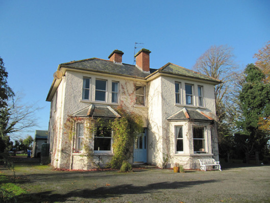 Garryduff Househouse · 884 yd
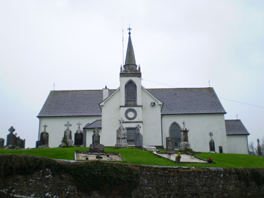 Saint Augustine's Catholic Churchchurch/chapel · 1170 yd
 CrossCross · 1200 yd
 Chapel FortFairy fort / earthen ringfort · 1237 yd
 Ballagh Castle (in Ruins)Castle, unclassified · 1.5 mi
 European BeechEuropean Beech · 2.1 mi
 Urraghry HillMountain / peak · 2.3 mi
 European YewEuropean Yew · 2.4 mi
 Ardcarn IslandsIslet · 2.5 mi
 The bloody HollowHeritage attraction · 3.0 mi
 Oghil Castle (in ruins)Castle, tower house · 3.1 mi
 Battle of AughrimMajor battlefield · 3.3 mi