What is recorded here
Lyons (1937, 242-9) identified a number of earthworks associated with the medieval settlement of Lisronagh (TS077-010----). S of the tower house (TS077-010001-) and approx. 25m S of the raised plaform (TS077-010008-) there is another roughly circular platform (diam. 10.2m N-S; 12.1m E-W; H above roadway 0.4m), the E side of which skirts an old roadway (TS077-010006-).
Compiled by: Jean Farrelly
Date of upload: 26 August 2011
The monument record does not grant public access. Check the route and ask the landowner before entering private land.
- What survives
- Recorded monument
Places near here
 Castle (in ruins)Castle, tower house · 183 yd
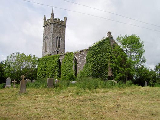 Lisronagh Churchchurch/chapel · 211 yd
 Catholic Church of Saint John the Baptistchurch/chapel · 393 yd
 CastleCastle, motte · 877 yd
 Enclosure in ClonacodyEnclosure · 1065 yd
 LisronaghFairy fort / earthen ringfort · 1130 yd
 Persian WalnutPersian Walnut · 1.2 mi
 Pedunculate OakPedunculate Oak · 1.9 mi
 East GateMemorial · 3.6 mi
 Charles BianconiMemorial · 4.2 mi
 Main GuardHeritage attraction · 4.3 mi
 Merchant's HouseVisitor information · 4.3 mi