What is recorded here
Fairy forts are human raths misnamed by folklore, and this is one of them: an oval grass yard fifty-eight metres long on a Monaghan ridge, still drawing a lane and farm buildings to its base. The earthen bank stands four metres high at its greatest, broad enough to walk beside, while the outer ditch has softened into a scarp where mature trees hold the slope. It appeared on McCrea’s map in 1793 and remained visible through the nineteenth century, suggesting people still recognised the shape before modern surveying arrived. The wide eastern gap invites entry rather than warning, as if the fort were built for neighbourhood instead of fear.
Situated on top of a NNW-SSE ridge. This rath is depicted on McCrea’s map of County Monaghan (1793) and the 1834 and 1907 editions of the OS 6-inch map. It is an oval grass-covered area (dims 58m NNW-SSE; 31m ENE-WSW) defined by an earthen bank (Wth c. 6m; int. H c. 1m; ext. H c. 3-4m) and an outer fosse (Wth of base c. 2m; ext. D c. 1.5m) NW-N and reduced to a scarp elsewhere that is highest at NNE (H 4.3m). There is an outer bank or field bank outside the fosse NW-N continuing around to E, and the scarp is planted mature deciduous trees. A lane skirts the base of the scarp S-NW and there are farm buildings against the base of the scarp E-S. There is a wide entrance (Wth 7m) at ESE.
The above description is derived from the published 'Archaeological Inventory of County Monaghan' (Dublin: Stationery Office, 1986). In certain instances the entries have been revised and updated in the light of recent research.
Compiled by: Michael Moore
Date of revision: 26 February 2018
The monument record does not grant public access. Check the route and ask the landowner before entering private land.
- What survives
- Recorded monument
Places near here
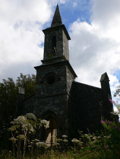 Saint Patrick's Church (Tullycorbet)church/chapel · 528 yd
 Glebe Houserectory/glebe/vicarage/curate's house · 886 yd
 IndicatedCrannog · 1.3 mi
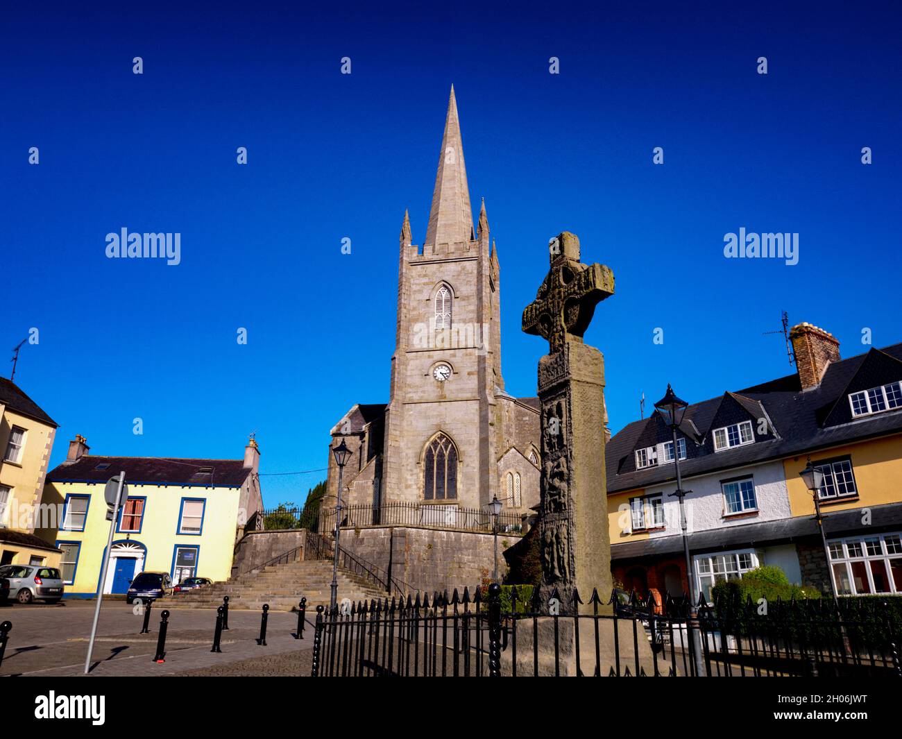 Embanked enclosureFairy fort / earthen ringfort · 1.8 mi
 The Rabbit BurrowWood · 3.3 mi
 Knockamaddy Big WoodWood · 3.5 mi
 Battle of ClontibretBattlefield · 3.5 mi
 Castleshane WaterfallWaterfall · 3.8 mi
 Rossmore MausoleumHeritage attraction · 5.2 mi
 Giant Redwood (1862)Heritage attraction · 5.4 mi
 LisnaspeenanMountain / peak · 7.5 mi
 Fedd HillMountain / peak · 7.8 mi