What is recorded here
Situated towards the NNE end of a narrow, flat-bottomed valley, aligned NNE-SSW, within which numerous fulachtaí fiadh occur over a distance of c. 1.5km. Glimpses of burnt stone and charcoal occurs for a length of c. 12m on the E side of a NNE-SSW field drain which extends along the valley floor. In addition some mound material occurs in a low sod-covered bank of upcast which borders the drain.
Compiled by: Jane O'Shaughnessy
Date of upload: 12 May 2011
Burnt mound in Lisnarawer is a fulacht fiadh, dating to the Bronze Age, and is part of a cluster of similar features in a valley, indicating a possible settlement or resource exploitation area. These sites were likely used for cooking, hide-scalding, or other heat-related activities.
The monument record does not grant public access. Check the route and ask the landowner before entering private land.
- What survives
- Recorded monument
Places near here
 Font in Ballinlig (tireragh By.)Font · 719 yd
 Giant's GraveArchaeological place · 761 yd
 Enclosure in Ballinlig (tireragh By.)Enclosure · 1142 yd
 Lahanacappul IslandIslet · 1311 yd
 CastleCastle, ringwork · 1340 yd
 Carrowgarry Househouse · 1566 yd
 Ballinlig PointHeadland · 1710 yd
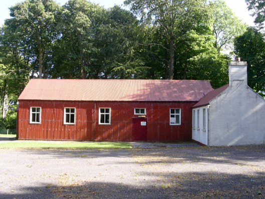 The Hallcommunity centre · 1.1 mi
 Portavaud PointHeadland · 1.1 mi
 Bawn in Tanrego WestBawn · 1.1 mi
 European ashEuropean ash · 1.8 mi
 Pigeonpark WoodForest · 1.9 mi