
What is recorded here
Thirty metres across and cut into the hillside, the fort stands raised above the valley like a forgotten altar. A modern fence slices through the ancient bank, dividing what should remain whole. The earthen wall has surrendered to grass and time, yet the shape holds firm against the wind. It is not a ruin so much as a paused breath, waiting for someone to remember why it was built.
Internal diam. 30m. A circular area surrounded by a poorly preserved and overgrown earthen bank. A modern fence divides the site. It was built by cutting into the hillside which gives the interior a raised appearance. It is situated on a hill top with good views over the surrounding country.
The above description was derived from the 'Archaeological Survey of County Donegal. A description of the field antiquities of the County from the Mesolithic Period to the 17th century.' Compiled by: Brian Lacey with Eamon Cody, Claire Cotter, Judy Cuppage, Noel Dunne, Vincent Hurley, Celie O'Rahilly, Paul Walsh and Seán Ó Nualláin (Lifford: Donegal County Council, 1983). In certain instances the entries have been revised and updated.
Date of upload: 22 September 2008
The monument record does not grant public access. Check the route and ask the landowner before entering private land.
- What survives
- Recorded monument
Places near here
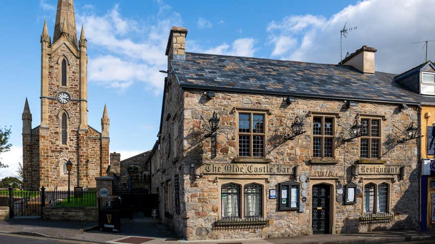 Rath Hilltop Fairy FortFairy fort / earthen ringfort · 412 yd
 Rath Fairy Fort in the WoodlandFairy fort / earthen ringfort · 494 yd
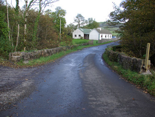 Rath Bridgebridge · 570 yd
 bridgebridge · 1117 yd
 Castle (Site of)Castle, unclassified · 3.0 mi
 Rooney's IslandIslet · 3.4 mi
 MurvaghOfficial bathing water · 3.6 mi
 Ballyboyle IslandIslet · 4.0 mi
 Ballyboyle Castle (Site of)Castle, tower house · 4.2 mi
 Donegal Friary GraveyardGraveyard · 4.3 mi
 Siege of Donegalsiege · 4.4 mi
 Horse-chestnutHorse-chestnut · 4.4 mi
Other information
Photo: Credit not shown in the picture search · Rights wording not checked; contact us if this picture should be removed