What is recorded here
Indicated is a stone ringfort in County Cork, Ireland, where a rebuilt wall still surrounds a circular pasture. The gap faces south, inviting entry rather than blocking it. People may have lived there, herded animals, or simply marked the land before the stones were forgotten.
In pasture, on gentle SSW-facing slope. Roughly circular area (28m N-S; 26m E-W) enclosed by stone wall (H 1.4m; Wth 2m); gap to S (Wth 4.5m). Wall shows evidence of rebuilding.
The above description is derived from the published 'Archaeological Inventory of County Cork. Volume 1: West Cork' (Dublin: Stationery Office, 1992). In certain instances the entries have been revised and updated in the light of recent research.
Date of upload/revision: 14 January 2009
The monument record does not grant public access. Check the route and ask the landowner before entering private land.
- What survives
- Recorded monument
Places near here
 Burial ground in Gortnadihy (carbery E. (w.d) By.)Burial ground · 637 yd
 CairnCairn, unclassified · 673 yd
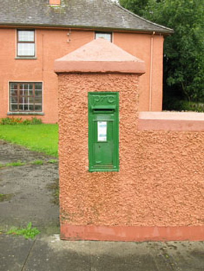 post boxpost box · 972 yd
 Ballinvard CastleCastle · 1579 yd
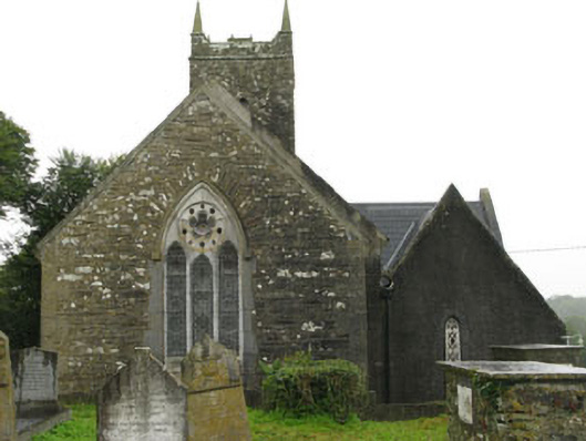 Christ Churchchurch/chapel · 1.1 mi
 Fahanacowley Castle (Site of)Castle, unclassified · 1.7 mi
 Corran HillMountain / peak · 3.0 mi
 Irish National Forestry FoundationNature reserve · 3.7 mi
 Jeremiah O'Donovan RossaMemorial · 4.0 mi
 The GlenWood · 4.2 mi
 Cross commemorating Holy Day.Memorial · 4.4 mi
 Michael Collins BirthplaceHistoric birthplace · 4.4 mi