
What is recorded here
Death came quickly during the famine, leaving no time for proper graves. People dug shallow holes inside the eastern bank and covered the dead with loose stones. The ground still holds those unmarked rows, waiting for the names history swallowed.
In enclosure (CO121-095---). Area inside E bank known locally as famine burial ground; defined by scatter of loose stones and low mounds.
The above description is derived from the published 'Archaeological Inventory of County Cork. Volume 1: West Cork' (Dublin: Stationery Office, 1992). In certain instances the entries have been revised and updated in the light of recent research.
Date of upload/revision: 14 January 2009
The monument record does not grant public access. Check the route and ask the landowner before entering private land.
- What survives
- Recorded monument
Places near here
 TobernadihyHoly well · 128 yd
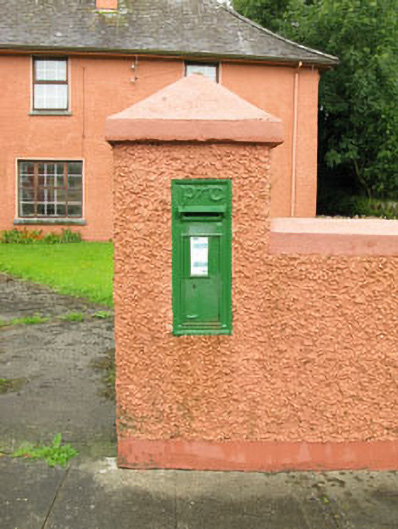 post boxpost box · 1043 yd
 CairnCairn, unclassified · 1226 yd
 Ballinvard CastleCastle · 1535 yd
 St Mary's Roman Catholic Churchchurch/chapel · 1.1 mi
 Fahanacowley Castle (Site of)Castle, unclassified · 1.7 mi
 Corran HillMountain / peak · 3.2 mi
 Jeremiah O'Donovan RossaMemorial · 3.6 mi
 Irish National Forestry FoundationNature reserve · 4.0 mi
 Cross commemorating Holy Day.Memorial · 4.1 mi
 Michael Collins BirthplaceHistoric birthplace · 4.1 mi
 CarrigfaddaMountain / peak · 4.2 mi
Other information
Photo: Credit not shown in the picture search · Rights wording not checked; contact us if this picture should be removed