
What is recorded here
Lisnabrack is a circular fairy fort on a steep south-facing slope in County Leitrim, its earthen bank now reduced to a scarp and its outer fosse hidden beneath lush northern vegetation. The site retains a clear grass-covered boundary despite the loss of its original entrance, marking it as a place where human hands shaped the land before memory faded. It may have served as a dwelling, a marker or a boundary for whoever first cut through that slope, yet the forgoen name and vanished entrance suggest it belongs more to story than history.
Described as ‘Lisnabrack’ in gothic lettering on the 1945 ed. of the OS 6-inch map, it is located towards the bottom of a steep S-facing slope. Circular grass-covered area (int. diam. 26.5m N-S; 24m E-W) defined by an overgrown earthen bank (Wth 2.6m; int. H 0.15m; ext. H 0. 25m) which is intermittently reduced to a scarp, and traces of an outer fosse (Wth 4m) visible as lush vegetation at N. The original entrance is not identified.
The above description is derived from 'The Archaeological Inventory of County Leitrim' compiled by Michael J. Moore (Dublin: Stationery Office, 2003). In certain instances the entries have been revised and updated in the light of recent research.
Date of upload: 23 September 2008
The monument record does not grant public access. Check the route and ask the landowner before entering private land.
- What survives
- Recorded monument
Places near here
 Sweat Ho.Sweathouse · 501 yd
 Mass-rock in Lisnabrack (rosclogher By.)Mass-rock · 827 yd
 Kilroosk RockNamed rock · 1636 yd
 RC ChapelChurch · 1742 yd
 Ashisland WoodForest · 1.3 mi
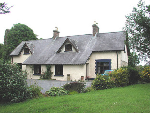 Manorhamilton Castlesteward's house · 1.4 mi
 Longhill WoodForest · 1.6 mi
 Giants RockNamed rock · 2.3 mi
 Castle CarCastle · 2.6 mi
 Saddle HillMountain / peak · 2.8 mi
 BenboMountain / peak · 3.2 mi
 The Giants GraveArchaeological place · 3.4 mi
Other information
Photo: Credit not shown in the picture search · Rights wording not checked; contact us if this picture should be removed