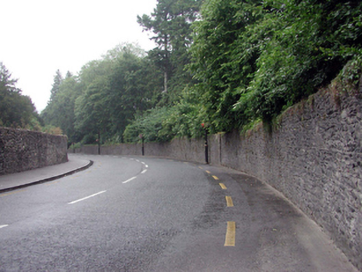
What is recorded here
Section of random rubble stone boundary wall, c.1840, with lime mortar, rubble stone vertical coping, outlines of pair of round-headed pedestrian gateways having squared rubble stone piers, and squared rubble stone voussoirs (now blocked-up with random rubble stone). Road fronted.
An appealing boundary wall, constructed in a traditional manner, that forms an integral component of the streetscape of New Way on the approach into Lismore from the north.
This does not grant access. Most recorded buildings are privately owned; view them only from public ground unless the owner allows entry.
Places near here
 fountainfountain · 69 yd
 Delavay's magnoliaDelavay's magnolia · 94 yd
 European YewEuropean Yew · 97 yd
 The Deaneryrectory/glebe/vicarage/curate's house · 106 yd
 St. Carthaghs WellHoly well · 119 yd
 CathedralCathedral · 154 yd
 Lady Louisa's WalkWalking route · 259 yd
 Ambrose Power MemorialMemorial · 301 yd
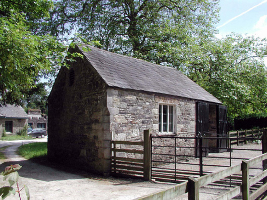 Lismore CastleOfficially recorded historic building · 306 yd
 Cottage IslandIslet · 547 yd
 LismoreMemorial · 1079 yd
 Ballysaggartmore TowersHeritage attraction · 1.9 mi
Other information
Photo: National Inventory of Architectural Heritage · Website use allowed for educational or private purposes with source credit