What is recorded here
In pasture, atop limestone ridge, terrain falls away to W into river valley. Roughly circular area (38.4m N-S; 42m E-W) enclosed by earthen bank with external fosse (D 0.3m; Wth 2.7m). Bank (int. H 0.6m; ext. H 3.4m), with sheer external face, becomes scarp-like along E side. Entrance (Wth 2.9m) at SSW. Fosse is covered with nettles along base and sides. Interior is under pasture and slopes down very slightly to NW. Field boundaries abut bank at NW and SE cutting fosse. Graveyard (LI019-06902-) 10m to N. (Westropp 1016-17, 30)
Compiled by: Denis Power
Date of upload: 26 August 2011
See attached ASI aerial photographs ASIAP – taken on 04/03/2006.
Lismakeery-Hachured is a roughly circular early-medieval ringfort situated on a limestone ridge, featuring an earthen bank and external fosse. Local folklore, common to many such sites, associates it with the fairies, though specific traditions are not recorded.
The monument record does not grant public access. Check the route and ask the landowner before entering private land.
- What survives
- Recorded monument
Places near here
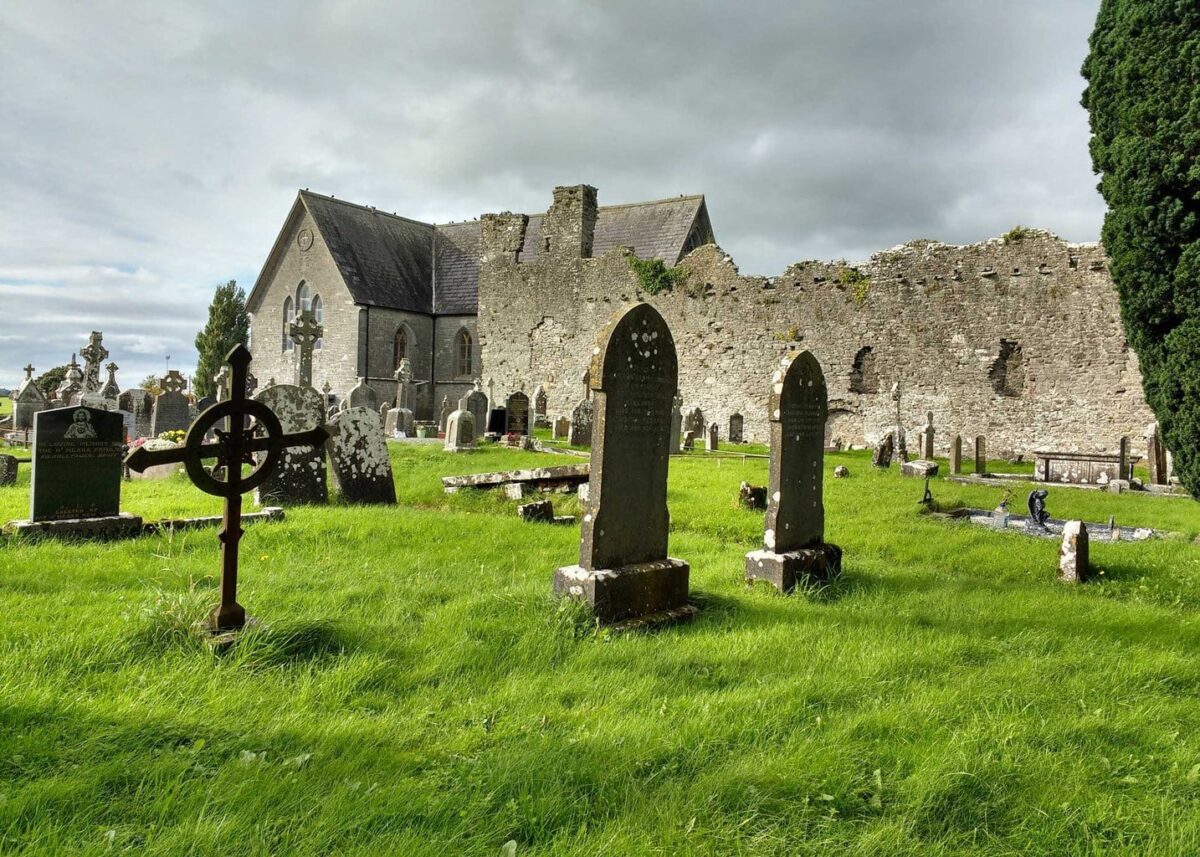 Grave YardGraveyard · 75 yd
 Lismakeery Church (in ruins)Church · 91 yd
 Fulacht fia in LismakeeryFulacht fia · 159 yd
 Lismakeery Castle (in ruins)Castle, tower house · 330 yd
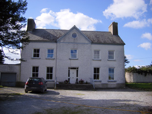 Bettyville housecountry house · 371 yd
 Milltown Castle (in ruins)Castle, tower house · 1338 yd
 Askeaton CastleHeritage attraction · 1.9 mi
 Holly IslandIslet · 3.0 mi
 TobernablahySpring · 4.0 mi
 St. Kieran's WellSpring · 4.3 mi
 Flat cemetery in CroaghFlat cemetery · 4.9 mi
 Herring RockNamed rock · 4.9 mi