What is recorded here
Fairy fort / earthen ringfort in Lismacaffry is a fairy fort or earthen ringfort in Lismacaffry, County Westmeath, Ireland. The site occupies a low natural rise of ground with good views to the east and more moderate views to the north, west and south. A circular area, measuring 43 metres from north to south and 54 metres from east to west, is defined by an earth and stone bank with an external fosse that is now mainly filled in. A causewayed entrance gap sits at the south-southeast, while old cultivation ridges aligned west-southwest to east-southeast run across the interior.
Situated on a low natural rise of ground with good views to the E and more moderate views to the N, W and S. Ringfort (WM002-006----) 300m to NNW, second ringfort (WM002-009---) 240m to NNE. Circular area (diam. 43m N-S; 54m E-W) defined by an earth and stone bank with external fosse now mainly filled in, causewayed entrance gap at SSE. Old cultivation ridges aligned WSW-ESE run across the interior of the monument.
See attached profile of monument surveyed and drawn by the ASI.
Compiled by: Frank Coyne & Caimin O'Brien
Date of upload: 21 November 2016
The monument record does not grant public access. Check the route and ask the landowner before entering private land.
- What survives
- Recorded monument
Places near here
 Float Railway Stationrailway station · 703 yd
 Site of Kinard NunneryReligious house nunnery, unclassified · 846 yd
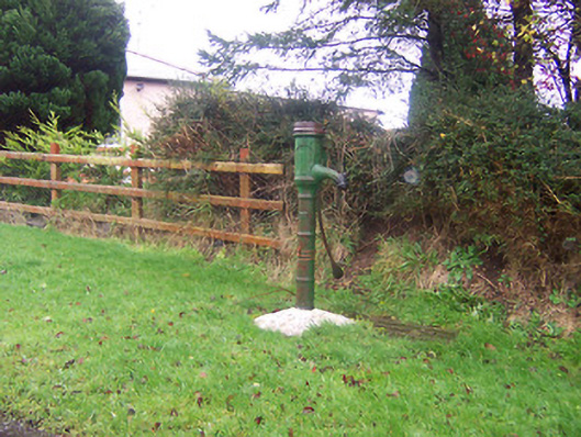 water pumpwater pump · 967 yd
 BarrowBarrow, mound barrow · 1132 yd
 CastleCastle, motte · 1535 yd
 Coolamber CastleHouse, fortified house · 1608 yd
 Granard MotteMotte-and-bailey castle remains · 4.7 mi
 1798 Monumentmonument · 4.7 mi
 Silver FirSilver Fir · 5.3 mi
 CarrickMountain / peak · 6.1 mi
 Watty's RocksIslet · 6.2 mi
 Sweet ChestnutSweet Chestnut · 6.4 mi