What is recorded here
Indicated is a worn earthen ring in Kerry pasture where a hidden spring still runs north to south through the middle. Cattle graze around its low banks, but the water remembers the old shape and keeps the fort alive beneath the grass.
In pasture, on a gentle SW-facing slope. An oval area (40m N-S; c. 33m E-W) defined by a low severely eroded earthen bank (Wth 2.1m; int. H 0.5m; ext. H 1.2m) N-S and by a more substantial earthen bank, which is incorporated into the field boundary, S-N. There are gaps at NNE (Wth 3m) and S (Wth 2.5m). The interior slopes down to the SW. According to local information, a natural spring flows from N to S through the rath. Some trees line the edge of the interior. It is indicated on the 1846 OS 6-inch map as a circular enclosure (diam. c. 50m), at the junction of four fields.
Compiled by: Elizabeth Byrne, Ursula Egan and Sheila Ronan, Archaeological Survey Unit, University College, Cork.
Date of upload: 31 January 2011
The monument record does not grant public access. Check the route and ask the landowner before entering private land.
- What survives
- Recorded monument
Places near here
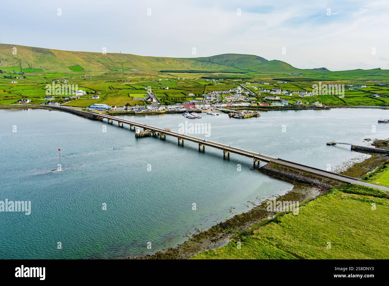 Man-made underground passage in ArdywanigMan-made underground passage · 1438 yd
 Burnt spread in FarranmanaghBurnt spread · 1.1 mi
 The Kerry Creamery ExperienceHeritage attraction · 1.5 mi
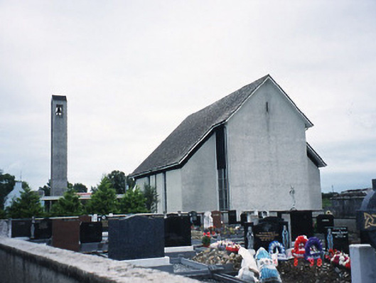 Catholic Church of the Immaculate Conceptionchurch/chapel · 1.7 mi
 Knocknamucklagh Ho.Country house · 2.0 mi
 Site of Castle MaineCastle, Anglo-Norman masonry castle · 3.0 mi
 Fieries CastleCastle · 3.1 mi
 Clash IslandIslet · 4.8 mi
 Ballygamboon Forest Recreation AreaWood · 4.9 mi
 Cloon IslandIsland · 5.2 mi
 Dunloe Ogham StonesHeritage attraction · 5.3 mi
 O'Sullivan's CascadeWaterfall · 7.4 mi